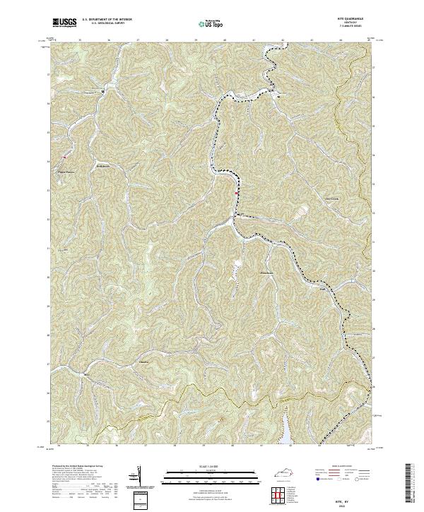
2022 Map of Kite
USGS Topo · Published 2022About this map
Pippa Passes and Hollybush anchor the western edge of this Kentucky coal country landscape, where narrow valleys dictate the flow of transportation and community. Small settlements like Kite and Puncheon are situated along the winding paths of Right Fork Beaver Cr, demonstrating the classic Appalachian pattern of creek-bottom development. High ridges such as Trace Mtn and Bald Hill separate these drainage basins, with local roads like Spice Wood Rd and Mullins Branch Rd threading through the tight gaps between the slopes.
Find a feature on this map
82 named features on this map. Tap any name to fly to it.
Don’t see what you’re looking for? This feature index may not catch every label — zoom into the map to look around manually.
Map Details
Editions of this 2022 Kite Map
This is the sole edition of this map. No revisions or reprints were ever made.
Other maps of this area

1890 · Whitesburg
USGS Topo · 1:125,000

1892 · Whitesburg
USGS Topo · 1:125,000

1912 · Pound
USGS Topo · 1:48,000

1912 · Hindman
USGS Topo · 1:48,000

1913 · Oven Fork
USGS Topo · 1:48,000

1914 · Pound
USGS Topo · 1:62,500

1914 · Vergie
USGS Topo · 1:48,000

1915 · Hindman
USGS Topo · 1:62,500

1915 · Whitesburg
USGS Topo · 1:62,500

1916 · Pikeville
USGS Topo · 1:62,500