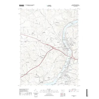
2019 Map of Kittanning
USGS Topo · Published 2019About this map
The Allegheny River carves a deep valley through this Armstrong County landscape, anchoring a dense corridor of riverfront industrial and residential settlements. The county seat of Kittanning sits on the eastern bank, flanked by neighborhood developments like Wick City, Troy Hill, and East Kittanning. Across the water, West Kittanning and Applewold sit perched above the river bend.
Find a feature on this map
203 named features on this map. Tap any name to fly to it.
Don’t see what you’re looking for? This feature index may not catch every label — zoom into the map to look around manually.
Map Details
Editions of this 2019 Kittanning Map
This is the sole edition of this map. No revisions or reprints were ever made.
Other maps of this area

1900 · Kittanning
USGS Topo · 1:62,500

1901 · Rural Valley
USGS Topo · 1:62,500

1902 · Kittanning
USGS Topo · 1:62,500

1902 · Elders Ridge
USGS Topo · 1:62,500

1903 · Rural Valley
USGS Topo · 1:62,500

1904 · Elders Ridge
USGS Topo · 1:62,500

1907 · Freeport
USGS Topo · 1:62,500

1909 · Freeport
USGS Topo · 1:62,500

1953 · Pittsburgh
USGS Topo · 1:250,000
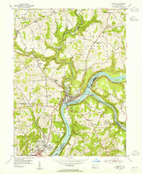
1953 · Freeport
USGS Topo · 1:24,000