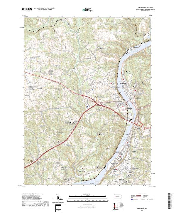
2023 Map of Kittanning
USGS Topo · Published 2023About this map
The Allegheny River carves a deep valley through this Armstrong County landscape, anchoring a dense corridor of riverfront settlements from Gosford and Kittanning down to Ford City. The map reveals the intricate urban footprint of the county seat, where the Armstrong County Courthouse stands as a central landmark amidst neighborhoods like Wick City and Troy Hill. On the western banks, the terrain rises toward West Hills and West Kittanning, transitioning into a network of upland plateaus marked by smaller communities such as Walkchalk and Center Hill.
Find a feature on this map
146 named features on this map. Tap any name to fly to it.
Don’t see what you’re looking for? This feature index may not catch every label — zoom into the map to look around manually.
Map Details
Editions of this 2023 Kittanning Map
This is the sole edition of this map. No revisions or reprints were ever made.
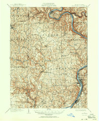
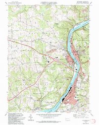
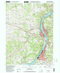
Historical Maps of Tarrtown Through Time
6 maps found