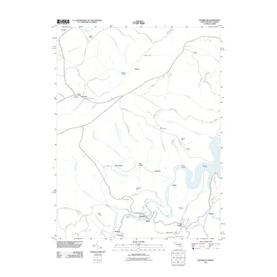
2011 Map of Kitzmiller
USGS Topo · Published 2011About this map
The North Branch Potomac River serves as the winding centerpiece for this 2011 survey, carving a path through the borderlands between Maryland and West Virginia. Concentrated settlements like Kitzmiller, Blaine, and Shallmar line the river’s northern bank, while Elk Garden and Nethkin anchor the southern side. This region, characterized by its deep hollows and narrow valleys, shows the imprint of industrial history through features such as Sharpless Mine Rd and the Hitchcock Tunnel.
Find a feature on this map
84 named features on this map. Tap any name to fly to it.
Don’t see what you’re looking for? This feature index may not catch every label — zoom into the map to look around manually.
Map Details
Editions of this 2011 Kitzmiller Map
This is the sole edition of this map. No revisions or reprints were ever made.
Other maps of this area

1895 · Piedmont
USGS Topo · 1:125,000

1899 · Grantsville
USGS Topo · 1:62,500

1899 · Oakland
USGS Topo · 1:62,500

1900 · Accident
USGS Topo · 1:62,500
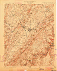
1900 · Oakland
USGS Topo · 1:62,500
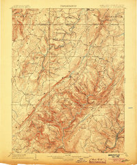
1904 · Grantsville
USGS Topo · 1:62,500
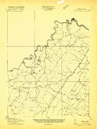
1919 · Elk Garden
USGS Topo · 1:48,000
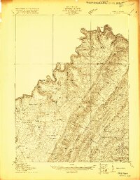
1920 · Elk Garden
USGS Topo · 1:48,000
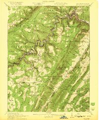
1922 · Elk Garden
USGS Topo · 1:62,500
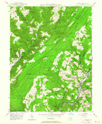
1947 · Barton
USGS Topo · 1:24,000