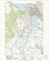
1985 Map of Klamath Falls
USGS Topo · Published 1986About this map
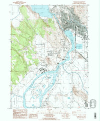
Klamath Falls serves as the focal point of this mid-1980s survey, where the waters of Upper Klamath Lake funnel through the Link River and into Lake Ewauna. The industrial and civic footprint of the city is evident, featuring the Link River Dam, several schools including Sacred Heart Academy and Klamath Union High Sch, and extensive rail infrastructure belonging to the Southern Pacific and Oreg Calif & Eastern lines. To the south and west, the urban grid gives way to the managed wetlands of the Lower Klamath Nat Wildlife Refuge and the Klamath State Wildlife Area. This document illustrates the complex water management systems of the era, from the Pumping Station networks to the large Sewage Disposal Ponds near the Southside Bypass, reflecting the region's reliance on the Klamath River corridor.
Find a feature on this map
49 named features on this map. Tap any name to fly to it.
Don’t see what you’re looking for? This feature index may not catch every label — zoom into the map to look around manually.
Map Details
Editions of this 1985 Klamath Falls Map
2 editions found
Other maps of this area

1889 · Klamath
USGS Topo · 1:250,000

1894 · Klamath
USGS Topo · 1:250,000

1955 · Klamath Falls
USGS Topo · 1:250,000

1957 · Merrill
USGS Topo · 1:62,500

1957 · Swan Lake
USGS Topo · 1:62,500

1957 · Klamath Falls
USGS Topo · 1:62,500

1957 · Modoc Point
USGS Topo · 1:62,500

1958 · Klamath Falls
USGS Topo · 1:250,000
1975 · Klamath Falls NE
USGS Topo · 1:24,000

1975 · Merrill NW
USGS Topo · 1:24,000