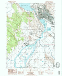
1985 Map of Klamath Falls
USGS Topo · Published 1985About this map
Klamath Falls serves as the focal point of this mid-1980s landscape, where the Link River connects Upper Klamath Lake to Lake Ewauna. The city's infrastructure is well-defined, featuring numerous educational institutions like Ponderosa Jr High Sch and Fremont Sch, alongside industrial markers such as the Sewage Treatment Plant and several Borrow Pits. The presence of the Southern Pacific and Oreg Calif & Eastern rail lines underscores the region's historical role as a transportation hub in southern Oregon.
Find a feature on this map
58 named features on this map. Tap any name to fly to it.
Don’t see what you’re looking for? This feature index may not catch every label — zoom into the map to look around manually.
Map Details
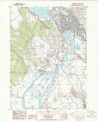
Editions of this 1985 Klamath Falls Map
2 editions found
Other maps of this area

1889 · Klamath
USGS Topo · 1:250,000

1894 · Klamath
USGS Topo · 1:250,000

1955 · Klamath Falls
USGS Topo · 1:250,000

1957 · Merrill
USGS Topo · 1:62,500

1957 · Swan Lake
USGS Topo · 1:62,500

1957 · Klamath Falls
USGS Topo · 1:62,500

1957 · Modoc Point
USGS Topo · 1:62,500

1958 · Klamath Falls
USGS Topo · 1:250,000
1975 · Klamath Falls NE
USGS Topo · 1:24,000

1975 · Merrill NW
USGS Topo · 1:24,000