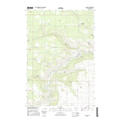
2017 Map of Klickitat
USGS Topo · Published 2017About this map
The Klickitat River carves a deep path through this portion of Klickitat County, serving as the central geographic feature for the settlements of Klickitat and Pitt. Historically rooted in the timber and milling industries, the area's landscape is defined by dramatic elevation changes, from the heights of The Plateau and High Prairie down to the riverbanks. The presence of Woodruff Mill and the descriptive Logging Camp Canyon point to the legacy of local forestry, while the Klickitat Trail follows the river corridor where rail once provided a lifeline for these canyon communities.
Find a feature on this map
52 named features on this map. Tap any name to fly to it.
Don’t see what you’re looking for? This feature index may not catch every label — zoom into the map to look around manually.
Map Details
Editions of this 2017 Klickitat Map
This is the sole edition of this map. No revisions or reprints were ever made.
Other maps of this area

1934 · The Dalles
USGS Topo · 1:125,000

1953 · The Dalles
USGS Topo · 1:250,000

1956 · The Dalles
USGS Topo · 1:250,000

1957 · The Dalles
USGS Topo · 1:250,000

1957 · Klickitat
USGS Topo · 1:62,500

1957 · The Dalles
USGS Topo · 1:62,500

1957 · White Salmon
USGS Topo · 1:62,500

1957 · Husum
USGS Topo · 1:62,500

1974 · Stacker Butte
USGS Topo · 1:24,000

1974 · The Dalles North
USGS Topo · 1:24,000