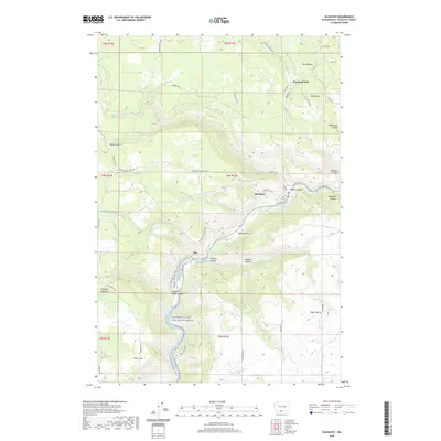
2020 Map of Klickitat
USGS Topo · Published 2020About this map
Klickitat occupies a bend in the river that bears its name, serving as a primary hub of settlement in this deeply carved landscape of canyons and plateaus. The topography is defined by the Klickitat Wild and Scenic River, which creates a natural corridor for both modern recreation and historical movement, evidenced by the Klickitat State Park Trail following the water's edge. To the north, Woodruff Mill sits near the Plateau, while the tiny settlement of Pitt marks a junction further downstream where the river meets Wheeler Canyon.
Find a feature on this map
57 named features on this map. Tap any name to fly to it.
Don’t see what you’re looking for? This feature index may not catch every label — zoom into the map to look around manually.
Map Details
Editions of this 2020 Klickitat Map
This is the sole edition of this map. No revisions or reprints were ever made.
Other maps of this area

1934 · The Dalles
USGS Topo · 1:125,000

1953 · The Dalles
USGS Topo · 1:250,000

1956 · The Dalles
USGS Topo · 1:250,000

1957 · The Dalles
USGS Topo · 1:250,000

1957 · Klickitat
USGS Topo · 1:62,500

1957 · The Dalles
USGS Topo · 1:62,500

1957 · White Salmon
USGS Topo · 1:62,500

1957 · Husum
USGS Topo · 1:62,500

1974 · Stacker Butte
USGS Topo · 1:24,000

1974 · The Dalles North
USGS Topo · 1:24,000