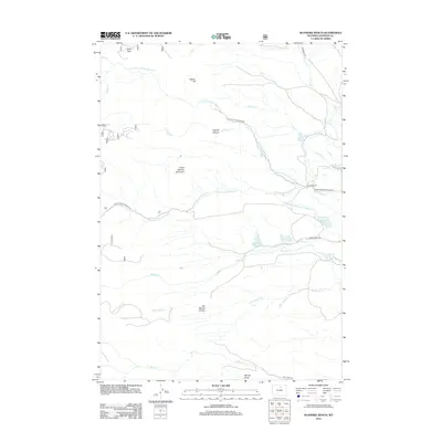
2012 Map of Klondike Ranch
USGS Topo · Published 2012About this map
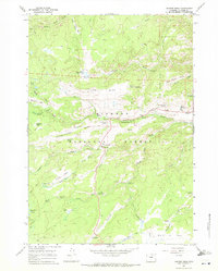
Klondike Ranch sits at the heart of this Wyoming landscape, where the foothills of the Bighorns meet a complex network of agricultural irrigation. The terrain is defined by dramatic elevation changes, notably at Crazy Woman Mountain and Sisters Hill, which overlook a drainage system dominated by the North Fork and Little North Fork of Crazy Woman Creek. The map reveals an intricate legacy of water management in an arid environment, featuring numerous named irrigation works such as Blue Gap Ditch Number 19, Watkins Ditch, and Thompson and Mathews Ditch Number 35. To the north, Elgin Park provides a point of settlement near Elgin Cr, while the southern reaches are marked by the deep cuts of Gossett Canyon and Dry Muddy Canyon. Local ranchers and historians can trace the paths of historical access roads like Crazy Woman Canyon Rd and Billy Creek Rd as they navigate the ridges and draws of Johnson County.
Find a feature on this map
30 named features on this map. Tap any name to fly to it.
Don’t see what you’re looking for? This feature index may not catch every label — zoom into the map to look around manually.
Map Details
Editions of this 2012 Klondike Ranch Map
This is the sole edition of this map. No revisions or reprints were ever made.
Other maps of this area

1900 · Fort McKinney
USGS Topo · 1:125,000

1903 · Fort McKinney
USGS Topo · 1:125,000

1955 · Sheridan
USGS Topo · 1:250,000

1958 · Sheridan
USGS Topo · 1:250,000

1962 · Sheridan
USGS Topo · 1:250,000

1967 · Caribou Creek
USGS Topo · 1:24,000
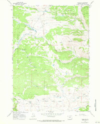
1967 · Hazelton
USGS Topo · 1:24,000
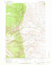
1967 · Klondike Ranch
USGS Topo · 1:24,000
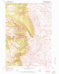
1967 · Robinson Canyon
USGS Topo · 1:24,000
1967 · Hunter Mesa
USGS Topo · 1:24,000