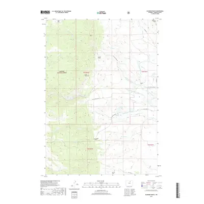
2017 Map of Klondike Ranch
USGS Topo · Published 2017About this map
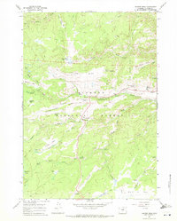
Bighorn National Forest dominates the western half of this landscape, where the elevation rises toward Crazy Woman Mtn and Sisters Hill. This area of Johnson County is defined by a sophisticated system of high-plains water management, featuring numerous named irrigation channels such as Cook Ditch Number 9, Thompson and Mathews Ditch Number 35, and Watkins Ditch. These waterways support the livestock operations and agriculture centered around Klondike Ranch near the eastern foothills.
Find a feature on this map
33 named features on this map. Tap any name to fly to it.
Don’t see what you’re looking for? This feature index may not catch every label — zoom into the map to look around manually.
Map Details
Editions of this 2017 Klondike Ranch Map
This is the sole edition of this map. No revisions or reprints were ever made.
Other maps of this area

1900 · Fort McKinney
USGS Topo · 1:125,000

1903 · Fort McKinney
USGS Topo · 1:125,000

1955 · Sheridan
USGS Topo · 1:250,000

1958 · Sheridan
USGS Topo · 1:250,000

1962 · Sheridan
USGS Topo · 1:250,000

1967 · Caribou Creek
USGS Topo · 1:24,000
1967 · Hazelton
USGS Topo · 1:24,000
1967 · Klondike Ranch
USGS Topo · 1:24,000
1967 · Robinson Canyon
USGS Topo · 1:24,000
1967 · Hunter Mesa
USGS Topo · 1:24,000