
1938 Map of Klondyke
USGS Topo · Published 1938About this map
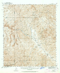
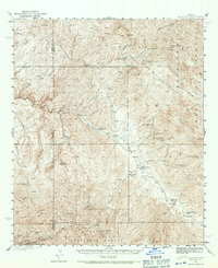
Klondyke serves as a central hub in this high-desert landscape of the late 1930s, situated where the Klondyke Creek meets Aravaipa Creek. The map documents a rugged mining and ranching economy, with industrial activity concentrated at the Grand Reef Mine, Imperial Mine, and the Blue Bird Mine along the western slopes. Evidence of local community infrastructure is found at the Aravaipa Sch and the Aravaipa Ranger Sta, while the geography is defined by prominent landmarks like The Chimney and the massive Galiuro Mountains. This 1937-1938 survey, conducted by V. S. Seward and others, was compiled in part from early aerial photographs, providing a precise look at the transition between the canyon floor and the high peaks of the Coronado National Forest. Small springs and tanks, such as Haby Spr and Horse Camp Tank, suggest the critical importance of water management for the scattered camps and homesteads throughout the Graham County and Pinal County borderlands.
Find a feature on this map
48 named features on this map. Tap any name to fly to it.
Don’t see what you’re looking for? This feature index may not catch every label — zoom into the map to look around manually.
Map Details
Editions of this 1938 Klondyke Map
3 editions found
Other maps of this area

1911 · Winkelman
USGS Topo · 1:125,000

1913 · Winkelman
USGS Topo · 1:125,000

1915 · Christmas
USGS Topo · 1:62,500

1917 · Christmas
USGS Topo · 1:62,500

1938 · Galiuro Mts
USGS Topo · 1:48,000

1940 · Sierra Bonita Ranch
USGS Topo · 1:62,500

1942 · Sierra Bonita Ranch
USGS Topo · 1:62,500

1943 · Galiuro Mts
USGS Topo · 1:62,500

1943 · Klondyke
USGS Topo · 1:62,500

1943 · Sierra Bonita Ranch
USGS Topo · 1:62,500