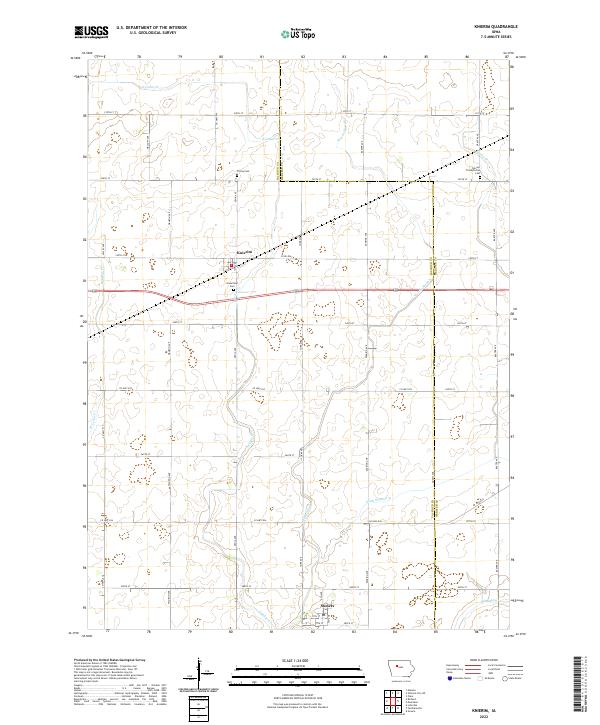
2022 Map of Knierim
USGS Topo · Published 2022About this map
Knierim and Somers anchor this pocket of the Iowa plains, situated along the border of Calhoun and Webster counties. The landscape is defined by its agricultural geometry, where a dense grid of rural roads like Xenia Ave and York Ave connects scattered farmsteads and historic burial grounds. The preservation of local history is evident in sites like Trinity Cem and Greenfield Cem, which serve as quiet landmarks among the expansive fields.
Find a feature on this map
48 named features on this map. Tap any name to fly to it.
Don’t see what you’re looking for? This feature index may not catch every label — zoom into the map to look around manually.
Map Details
Editions of this 2022 Knierim Map
This is the sole edition of this map. No revisions or reprints were ever made.
Other maps of this area

1954 · Fort Dodge
USGS Topo · 1:250,000

1957 · Fort Dodge
USGS Topo · 1:250,000

1958 · Fort Dodge
USGS Topo · 1:250,000

1965 · Moorland
USGS Topo · 1:24,000

1965 · Farnhamville
USGS Topo · 1:24,000

1965 · Knierim
USGS Topo · 1:24,000

1965 · Gowrie
USGS Topo · 1:24,000

1979 · Clare
USGS Topo · 1:24,000

1979 · Gilmore City SW
USGS Topo · 1:24,000

1979 · Manson
USGS Topo · 1:24,000