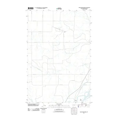
2011 Map of Knife River Mine
USGS Topo · Published 2011About this map
The Yellowstone River and its intricate valley dominate the southeastern corner of this Richland County landscape, defining the character of the settlement at Burns. The industrial footprint of the Knife River Coal Mine and the Knife River Mine are prominent in the northern portion of the quadrangle, illustrating the region's reliance on extractive resources. Between these two focal points, the terrain is shaped by a complex network of waterways, including the winding Beef Slough and Dunlap Creek.
Find a feature on this map
19 named features on this map. Tap any name to fly to it.
Don’t see what you’re looking for? This feature index may not catch every label — zoom into the map to look around manually.
Map Details
Editions of this 2011 Knife River Mine Map
This is the sole edition of this map. No revisions or reprints were ever made.
Other maps of this area

1909 · Glendive
USGS Topo · 1:250,000

1954 · Glendive
USGS Topo · 1:250,000

1957 · Glendive
USGS Topo · 1:250,000

1958 · Glendive
USGS Topo · 1:250,000

1966 · Savage
USGS Topo · 1:24,000

1966 · Savage SE
USGS Topo · 1:24,000

1966 · Savage SW
USGS Topo · 1:24,000

1966 · Intake
USGS Topo · 1:24,000

1966 · Knife River Mine
USGS Topo · 1:24,000

1966 · Crane
USGS Topo · 1:24,000