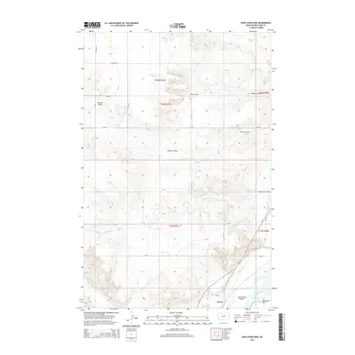
2014 Map of Knife River Mine
USGS Topo · Published 2014About this map
Knife River Mine dominates the northern landscape of this Richland County terrain, highlighting the industrial footprint of extractive operations within the undulating drainage systems of eastern Montana. To the south, the settlement of Burns sits near the banks of the Yellowstone River, which forms a complex riparian environment featuring Gros Ventre Island and the level expanse of Valentine Flat. The map documents a sophisticated irrigation and water management network essential for local agriculture and industry, including the Main Canal, Burns Lake, and several named coulees like Peabody Coulee and Garden Coulee. Notable agricultural features such as the Greenway Dairy Appr reflect the region's diverse economic activities. The network of county roads, including Co Road 335 and MT-16, illustrates the connectivity between these rural industrial sites and the riverfront communities.
Find a feature on this map
29 named features on this map. Tap any name to fly to it.
Don’t see what you’re looking for? This feature index may not catch every label — zoom into the map to look around manually.
Map Details
Editions of this 2014 Knife River Mine Map
This is the sole edition of this map. No revisions or reprints were ever made.
Other maps of this area

1909 · Glendive
USGS Topo · 1:250,000

1954 · Glendive
USGS Topo · 1:250,000

1957 · Glendive
USGS Topo · 1:250,000

1958 · Glendive
USGS Topo · 1:250,000

1966 · Savage
USGS Topo · 1:24,000

1966 · Savage SE
USGS Topo · 1:24,000

1966 · Savage SW
USGS Topo · 1:24,000

1966 · Intake
USGS Topo · 1:24,000

1966 · Knife River Mine
USGS Topo · 1:24,000

1966 · Crane
USGS Topo · 1:24,000