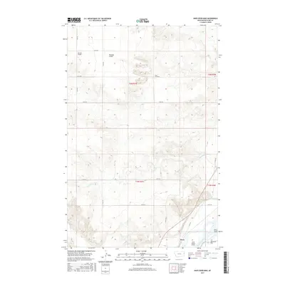
2017 Map of Knife River Mine
USGS Topo · Published 2017About this map
The Knife River Mine defines the industrial landscape of this eastern Montana region, set against a backdrop of complex terrain and vital waterways. This 2017 survey shows the extraction area situated amongst the deep ravines of Peabody Coulee and Garden Coulee, demonstrating the topographical challenges of resource recovery in Richland County. To the southeast, the landscape shifts toward the fertile bottomlands of the Yellowstone River, where islands like Gros Ventre Island and Marys Island sit near the wide expanse of Valentine Flat.
Find a feature on this map
24 named features on this map. Tap any name to fly to it.
Don’t see what you’re looking for? This feature index may not catch every label — zoom into the map to look around manually.
Map Details
Editions of this 2017 Knife River Mine Map
This is the sole edition of this map. No revisions or reprints were ever made.
Other maps of this area

1909 · Glendive
USGS Topo · 1:250,000

1954 · Glendive
USGS Topo · 1:250,000

1957 · Glendive
USGS Topo · 1:250,000

1958 · Glendive
USGS Topo · 1:250,000

1966 · Savage
USGS Topo · 1:24,000

1966 · Savage SE
USGS Topo · 1:24,000

1966 · Savage SW
USGS Topo · 1:24,000

1966 · Intake
USGS Topo · 1:24,000

1966 · Knife River Mine
USGS Topo · 1:24,000

1966 · Crane
USGS Topo · 1:24,000