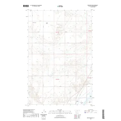
2020 Map of Knife River Mine
USGS Topo · Published 2020About this map
The Yellowstone River cuts through this Richland County landscape, creating a dynamic riparian zone characterized by features like Gros Ventre Island and Marys Island. This 2020 survey documents the intersection of industrial activity and water management near the settlement of Burns. The namesake Knife River Mine is situated in the northern reaches of the quadrangle, north of the complex drainage network of Garden Coulee and Peabody Coulee. Local agricultural and water infrastructure is highly visible through the Main Canal, which runs parallel to the river valley near Valentine Flat. The terrain is defined by its coulees and sloughs, including Beef Slough and Burns Cr, illustrating the hydrological patterns of eastern Montana's plains and river bottoms.
Find a feature on this map
25 named features on this map. Tap any name to fly to it.
Don’t see what you’re looking for? This feature index may not catch every label — zoom into the map to look around manually.
Map Details
Editions of this 2020 Knife River Mine Map
This is the sole edition of this map. No revisions or reprints were ever made.
Other maps of this area

1909 · Glendive
USGS Topo · 1:250,000

1954 · Glendive
USGS Topo · 1:250,000

1957 · Glendive
USGS Topo · 1:250,000

1958 · Glendive
USGS Topo · 1:250,000

1966 · Savage
USGS Topo · 1:24,000

1966 · Savage SE
USGS Topo · 1:24,000

1966 · Savage SW
USGS Topo · 1:24,000

1966 · Intake
USGS Topo · 1:24,000

1966 · Knife River Mine
USGS Topo · 1:24,000

1966 · Crane
USGS Topo · 1:24,000