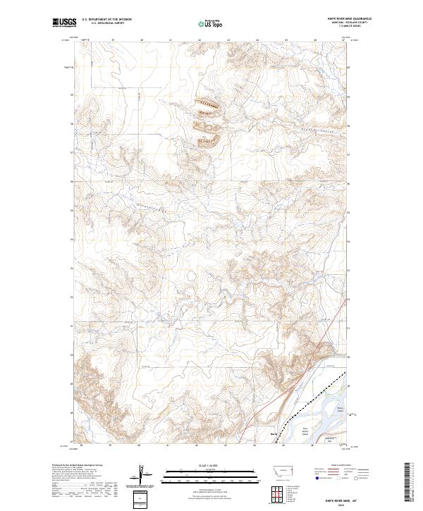
2024 Map of Knife River Mine
USGS Topo · Published 2024About this map
Burns marks the southern landscape of this Richland County region, where the terrain is defined by the complex water systems of the lower Yellowstone River valley. The Main Canal cuts a distinct path through the bottomlands, supporting the agricultural vitality of areas like Valentine Flat. To the east, the river's influence is evident in the formation of Gros Ventre Island and Marys Island, landforms that suggest a dynamic riparian environment. Moving away from the valley floor, the map reveals a series of drainage features including Peabody Coulee and Garden Coulee, which carve into the higher ground. These coulees, along with Beef Slough and Burns Creek, illustrate the natural drainage patterns that have shaped the local topography and dictated the placement of rural routes like Co RD 104 and Co RD 340.
Find a feature on this map
23 named features on this map. Tap any name to fly to it.
Don’t see what you’re looking for? This feature index may not catch every label — zoom into the map to look around manually.
Map Details
Editions of this 2024 Knife River Mine Map
This is the sole edition of this map. No revisions or reprints were ever made.
Other maps of this area

1909 · Glendive
USGS Topo · 1:250,000

1954 · Glendive
USGS Topo · 1:250,000

1957 · Glendive
USGS Topo · 1:250,000

1958 · Glendive
USGS Topo · 1:250,000

1966 · Savage
USGS Topo · 1:24,000

1966 · Savage SE
USGS Topo · 1:24,000

1966 · Savage SW
USGS Topo · 1:24,000

1966 · Intake
USGS Topo · 1:24,000

1966 · Knife River Mine
USGS Topo · 1:24,000

1966 · Crane
USGS Topo · 1:24,000