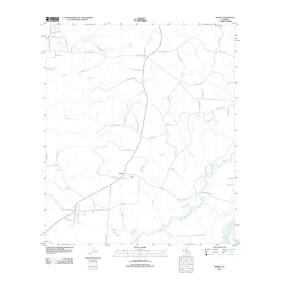
2012 Map of Knight
USGS Topo · Published 2012About this map
Knight and Fal anchor this rural landscape in Vernon Parish, where a dense network of local roads and watercourses defines the community structure. The terrain is intricately drained by numerous branches and creeks, including Moore Br, Mill Cr, and Damrel Cr, all feeding toward the significant winding path of Bayou Anacoco in the south. The distribution of family-named roads like Burrell Harvey Rd and William Loftin Rd suggests a long-standing pattern of multi-generational landholdings and rural homesteads.
Find a feature on this map
71 named features on this map. Tap any name to fly to it.
Don’t see what you’re looking for? This feature index may not catch every label — zoom into the map to look around manually.
Map Details
Editions of this 2012 Knight Map
This is the sole edition of this map. No revisions or reprints were ever made.
Other maps of this area

1941 · Leesville
USGS Topo · 1:62,500

1943 · Leesville
USGS Topo · 1:62,500

1944 · Wiergate
USGS Topo · 1:62,500

1946 · Leesville
USGS Topo · 1:62,500

1946 · Merryville
USGS Topo · 1:31,680

1947 · Pujo
USGS Topo · 1:31,680

1947 · DeRidder
USGS Topo · 1:31,680

1947 · Rosepine
USGS Topo · 1:31,680

1947 · Knight
USGS Topo · 1:31,680

1948 · Leesville
USGS Topo · 1:62,500