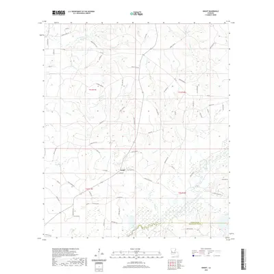
2020 Map of Knight
USGS Topo · Published 2020About this map
The settlement of Knight anchors this rural landscape along the border of Vernon and Beauregard Parishes. Located within the heart of Louisiana’s piney woods region, the area is defined by a dense network of watercourses including Bayou Anacoco, Boggy Br, and Damrel Cr. The terrain is characterized by winding local roads often named for early families, such as Burrell Harvey Rd and Lynn Davis Rd, reflecting the generational land use common in this part of the state. For genealogists, the Hinson Cem stands as a primary point of interest among the low-lying creeks and drainages. The south of the quadrangle shows the distinct transition into the marshy lowlands of Brockston Gully, illustrating the intricate hydrology of the Cypress Cr watershed just before it reaches the parish line.
Find a feature on this map
70 named features on this map. Tap any name to fly to it.
Don’t see what you’re looking for? This feature index may not catch every label — zoom into the map to look around manually.
Map Details
Editions of this 2020 Knight Map
This is the sole edition of this map. No revisions or reprints were ever made.
Other maps of this area

1941 · Leesville
USGS Topo · 1:62,500

1943 · Leesville
USGS Topo · 1:62,500

1944 · Wiergate
USGS Topo · 1:62,500

1946 · Leesville
USGS Topo · 1:62,500

1946 · Merryville
USGS Topo · 1:31,680

1947 · Pujo
USGS Topo · 1:31,680

1947 · DeRidder
USGS Topo · 1:31,680

1947 · Rosepine
USGS Topo · 1:31,680

1947 · Knight
USGS Topo · 1:31,680

1948 · Leesville
USGS Topo · 1:62,500