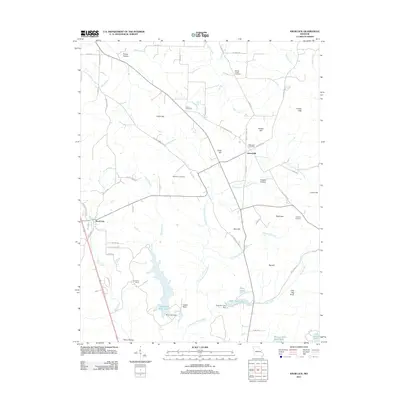
2011 Map of Knob Lick
USGS Topo · Published 2011About this map
The Little Saint Francis River winds through this Saint Francois County landscape, defining a region where upland hills meet established rural communities. Near the western edge, the settlement of Knob Lick sits at the base of the prominent peak that shares its name, while to the east, the village of Libertyville serves as a junction for local travel. The area is marked by a deep genealogical record, preserved through numerous burial grounds including the Wesley Chapel Cemetery, Harris Cemetery, and Sebastian Cemetery.
Find a feature on this map
70 named features on this map. Tap any name to fly to it.
Don’t see what you’re looking for? This feature index may not catch every label — zoom into the map to look around manually.
Map Details
Editions of this 2011 Knob Lick Map
This is the sole edition of this map. No revisions or reprints were ever made.
Other maps of this area

1904 · Farmington
USGS Topo · 1:62,500

1906 · Farmington
USGS Topo · 1:62,500

1907 · Weingarten
USGS Topo · 1:62,500

1909 · Weingarten
USGS Topo · 1:62,500

1910 · Higdon
USGS Topo · 1:62,500

1939 · Fredericktown
USGS Topo · 1:48,000

1947 · Fredericktown
USGS Topo · 1:62,500

1949 · Rolla
USGS Topo · 1:250,000

1950 · Fredericktown
USGS Topo · 1:62,500

1953 · Rolla
USGS Topo · 1:250,000