
1935 Map of Knobby Creek
USGS Topo · Published 1935About this map
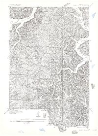
The northern reaches of the Lake of the Ozarks dominate this mid-1930s survey, illustrating the complex, winding shoreline at Brown Bend and Ivy Bend. The area reflects a rural landscape transitioning around the newly created reservoir, with the boundary between Camden and Morgan counties cutting through the water. Away from the lakefront, a dense network of one-room schoolhouses such as Sweet Water Sch, White School, and Cable Ridge School suggests a dispersed but active upland community.
Find a feature on this map
30 named features on this map. Tap any name to fly to it.
Don’t see what you’re looking for? This feature index may not catch every label — zoom into the map to look around manually.
Map Details
Editions of this 1935 Knobby Creek Map
2 editions found
Other maps of this area

1887 · Warsaw
USGS Topo · 1:125,000

1888 · Versailles
USGS Topo · 1:125,000

1893 · Versailles
USGS Topo · 1:125,000

1894 · Warsaw
USGS Topo · 1:125,000

1904 · Gravois Mills
USGS Topo · 1:62,500

1934 · Irontown Ferry
USGS Topo · 1:24,000

1935 · Barnumton
USGS Topo · 1:24,000

1935 · Proctor Creek
USGS Topo · 1:24,000

1935 · Edwards
USGS Topo · 1:24,000

1935 · Boylers Mill
USGS Topo · 1:24,000