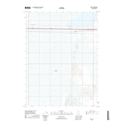
2020 Map of Knolls
USGS Topo · Published 2020About this map
Great Salt Lake Desert dominates this landscape in western Utah, revealing a stark and specialized environment shaped by salt and sediment. The small settlement of Knolls sits as a critical waypoint along the primary east-west transportation corridor, where the interstate and railway skirt the edge of the desert basin. Beyond the main thoroughfares, the limited infrastructure includes Floating Island Dike Rd, which strikes across the flats to support land management and access. The terrain south of the highway shows significant elevation changes and contour detail, highlighting the transition from the flat, arid floor of the desert to more varied topographical forms.
Find a feature on this map
3 named features on this map. Tap any name to fly to it.
Don’t see what you’re looking for? This feature index may not catch every label — zoom into the map to look around manually.
Map Details
Editions of this 2020 Knolls Map
This is the sole edition of this map. No revisions or reprints were ever made.
Other maps of this area

1953 · Tooele
USGS Topo · 1:250,000

1955 · Tooele
USGS Topo · 1:250,000

1973 · Knolls SW
USGS Topo · 1:24,000

1973 · Knolls
USGS Topo · 1:24,000

1973 · Aragonite NW
USGS Topo · 1:24,000

1973 · Barro
USGS Topo · 1:24,000

1973 · Knolls SE
USGS Topo · 1:24,000

1973 · Grayback Hills
USGS Topo · 1:24,000

1973 · Aragonite SW
USGS Topo · 1:24,000

1973 · Knolls 2 SW
USGS Topo · 1:24,000