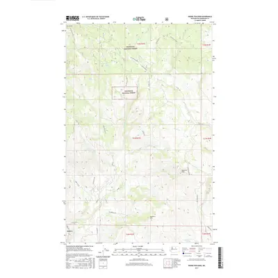
2017 Map of Knowlton Knob
USGS Topo · Published 2017About this map
Methow sits at the southwestern edge of this landscape, serving as a gateway to the high-relief terrain of the Okanogan National Forest. The map reveals a complex network of forest development and county roads that navigate the steep elevations, including the prominent summit of Knowlton Knob and the northern slopes of Buckhorn Mtn. This area is defined by its seasonal water sources and drainage patterns, with Russian Spring, Kupper Spring, and Bock Spring providing vital points of reference in a territory where water is a defining resource for land management and local history.
Find a feature on this map
36 named features on this map. Tap any name to fly to it.
Don’t see what you’re looking for? This feature index may not catch every label — zoom into the map to look around manually.
Map Details
Editions of this 2017 Knowlton Knob Map
This is the sole edition of this map. No revisions or reprints were ever made.
Other maps of this area

1899 · Methow
USGS Topo · 1:125,000

1901 · Methow
USGS Topo · 1:125,000

1905 · Okanogan
USGS Topo · 1:125,000

1954 · Okanogan
USGS Topo · 1:250,000

1955 · Concrete
USGS Topo · 1:250,000

1956 · Loup Loup
USGS Topo · 1:62,500

1957 · Brewster
USGS Topo · 1:62,500

1958 · Concrete
USGS Topo · 1:250,000

1958 · Okanogan
USGS Topo · 1:250,000

1962 · Concrete
USGS Topo · 1:250,000