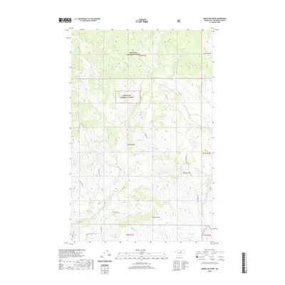
2020 Map of Knowlton Knob
USGS Topo · Published 2020About this map
Knowlton Knob rises prominently in this section of the Okanogan National Forest, a landscape defined by sharp elevation changes and vital water sources in an otherwise arid region of Washington. The geography is marked by numerous springs, such as Russian Spring, Kupfer Spring, and Arkansas Spring, which feed into local drainages like French Cr and Swamp Cr. The road network, including Knowlton Knob Rd and Indian Dan Canyon Rd, follows the natural contours of the high country, connecting remote forest reaches with the lower canyons. To the south, Buckhorn Mtn stands as another significant landmark, illustrating the high-altitude terrain that has long served as timber and grazing land. This map reflects the enduring management of public lands and the essential role that named water points and ridges play in navigating the northern Cascades foothills.
Find a feature on this map
31 named features on this map. Tap any name to fly to it.
Don’t see what you’re looking for? This feature index may not catch every label — zoom into the map to look around manually.
Map Details
Editions of this 2020 Knowlton Knob Map
This is the sole edition of this map. No revisions or reprints were ever made.
Other maps of this area

1899 · Methow
USGS Topo · 1:125,000

1901 · Methow
USGS Topo · 1:125,000

1905 · Okanogan
USGS Topo · 1:125,000

1954 · Okanogan
USGS Topo · 1:250,000

1955 · Concrete
USGS Topo · 1:250,000

1956 · Loup Loup
USGS Topo · 1:62,500

1957 · Brewster
USGS Topo · 1:62,500

1958 · Concrete
USGS Topo · 1:250,000

1958 · Okanogan
USGS Topo · 1:250,000

1962 · Concrete
USGS Topo · 1:250,000