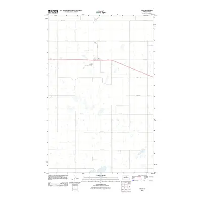
2011 Map of Knox
USGS Topo · Published 2011About this map
Knox sits at the center of this 2011 survey, a small North Dakota settlement defined by its grid of streets and its proximity to the rural agricultural landscape of Benson County. The town site is clustered along Morgan St and 1st Ave, providing a clear view of the community's layout in the early 21st century. To the west of the main residential area, the map preserves the locations of two local burial grounds, Knox Cemetery and Saint Marys Cemetery, which are essential sites for genealogists and family historians researching the local population. The surrounding area is characterized by a sparse, organized network of section roads like 44th Ave NE and 64th St NE, interspersed with small, scattered wetlands typical of the prairie pothole region.
Find a feature on this map
22 named features on this map. Tap any name to fly to it.
Don’t see what you’re looking for? This feature index may not catch every label — zoom into the map to look around manually.
Map Details
Editions of this 2011 Knox Map
This is the sole edition of this map. No revisions or reprints were ever made.
Other maps of this area

1953 · Devils Lake
USGS Topo · 1:250,000

1956 · Devils Lake
USGS Topo · 1:250,000

1958 · Fillmore
USGS Topo · 1:24,000

1958 · Baker
USGS Topo · 1:24,000

1958 · Harlow
USGS Topo · 1:24,000

1971 · Wolford
USGS Topo · 1:24,000

1971 · Knox
USGS Topo · 1:24,000

1971 · Rugby NE
USGS Topo · 1:24,000

1971 · Hurricane Lake West
USGS Topo · 1:24,000

1971 · York
USGS Topo · 1:24,000