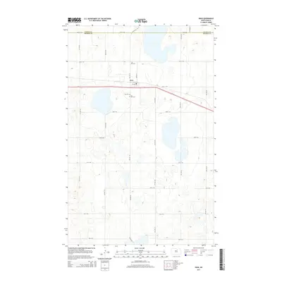
2014 Map of Knox
USGS Topo · Published 2014About this map
The small community of Knox sits along the northern edge of this 2014 survey, positioned where the section lines of Benson County meet the county line with Pierce County. This prairie landscape is defined by its rectilinear grid of rural roads, including 66th St NE and 43rd Ave NE, which navigate around numerous glacial potholes and wetlands. Local history is anchored near the town site by Knox Cem and Saint Marys Cem, both located south of the main settlement and Us-2. The township's layout reflects the enduring influence of the Public Land Survey System, with the transportation network largely dictated by the high concentration of small lakes and seasonal ponds that dot the interior sections.
Find a feature on this map
23 named features on this map. Tap any name to fly to it.
Don’t see what you’re looking for? This feature index may not catch every label — zoom into the map to look around manually.
Map Details
Editions of this 2014 Knox Map
This is the sole edition of this map. No revisions or reprints were ever made.
Other maps of this area

1953 · Devils Lake
USGS Topo · 1:250,000

1956 · Devils Lake
USGS Topo · 1:250,000

1958 · Fillmore
USGS Topo · 1:24,000

1958 · Baker
USGS Topo · 1:24,000

1958 · Harlow
USGS Topo · 1:24,000

1971 · Wolford
USGS Topo · 1:24,000

1971 · Knox
USGS Topo · 1:24,000

1971 · Rugby NE
USGS Topo · 1:24,000

1971 · Hurricane Lake West
USGS Topo · 1:24,000

1971 · York
USGS Topo · 1:24,000