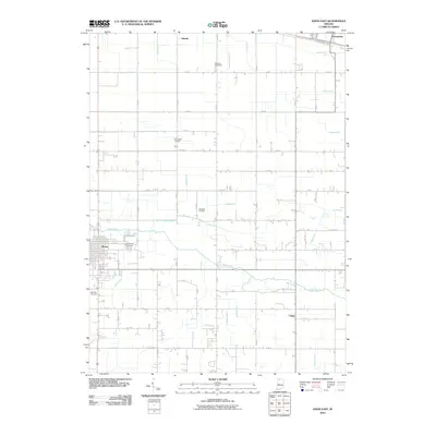
2010 Map of Knox East
USGS Topo · Published 2010About this map
Knox serves as the primary hub of this northern Indiana landscape, where the street grid of the town center gives way to a sprawling network of agricultural drainage systems. The Yellow River meanders across the central terrain, its natural course complemented by an extensive series of man-made waterways like Howard Ditch, Mooreman Ditch, and Bickel Ditch, reflecting the region's managed wetlands and farming heritage. Smaller settlements including Hamlet, Ober, and Grovertown anchor the surrounding rural expanse, connected by a rigid grid of numbered section roads.
Find a feature on this map
62 named features on this map. Tap any name to fly to it.
Don’t see what you’re looking for? This feature index may not catch every label — zoom into the map to look around manually.
Map Details
Editions of this 2010 Knox East Map
This is the sole edition of this map. No revisions or reprints were ever made.
Other maps of this area

1953 · Chicago
USGS Topo · 1:250,000

1957 · Chicago
USGS Topo · 1:250,000

1957 · Knox East
USGS Topo · 1:24,000

1957 · Knox West
USGS Topo · 1:24,000

1958 · Donaldson
USGS Topo · 1:24,000

1958 · Kingsford Heights
USGS Topo · 1:24,000

1958 · Hamlet
USGS Topo · 1:24,000

1958 · Walkerton
USGS Topo · 1:24,000

1962 · Denham
USGS Topo · 1:24,000

1962 · Bass Lake
USGS Topo · 1:24,000