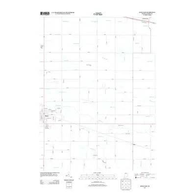
2013 Map of Knox East
USGS Topo · Published 2013About this map
The city of Knox and the surrounding Starke County countryside are defined by a sophisticated network of drainage ditches and the meandering course of the Yellow River. In the early 21st century, this landscape remains deeply agricultural, evidenced by large operations like Yellow River Farms and the Grovertown Fruit Farm near the community of Grovertown. The map reveals the intricate water management system necessary for this fertile region, including the Gearhart Ditch, Morse Ditch, and Cannon Ditch, which crisscross the grid of country roads. Transportation history is noted by the presence of E Yellowstone Trl, a nod to the historic transcontinental highway route. Toward the southern edge, the small settlement of Ober sits along the rail corridor, while the Singleton's Landing Strip Airport serves local aviation needs on the western periphery.
Find a feature on this map
103 named features on this map. Tap any name to fly to it.
Don’t see what you’re looking for? This feature index may not catch every label — zoom into the map to look around manually.
Map Details
Editions of this 2013 Knox East Map
This is the sole edition of this map. No revisions or reprints were ever made.
Other maps of this area

1953 · Chicago
USGS Topo · 1:250,000

1957 · Chicago
USGS Topo · 1:250,000

1957 · Knox East
USGS Topo · 1:24,000

1957 · Knox West
USGS Topo · 1:24,000

1958 · Donaldson
USGS Topo · 1:24,000

1958 · Kingsford Heights
USGS Topo · 1:24,000

1958 · Hamlet
USGS Topo · 1:24,000

1958 · Walkerton
USGS Topo · 1:24,000

1962 · Denham
USGS Topo · 1:24,000

1962 · Bass Lake
USGS Topo · 1:24,000