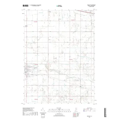
2019 Map of Knox East
USGS Topo · Published 2019About this map
The Yellow River flows through the heart of Starke County, anchoring a landscape defined by an extensive network of drainage infrastructure including Cannon Ditch, Bolen Ditch, and Mooreman Ditch. These waterways reflect the historical effort to manage the regional wetlands for agriculture, a pattern seen throughout the township divisions of t33n r2w and t34n r1w. The city of Knox serves as a primary settlement point, with smaller communities like Hamlet to the north and Ober to the southeast providing local commercial centers. Genealogy researchers will find several well-preserved burial grounds, such as Crown Hill Cem and the more isolated Swartzell Cem. Notable transportation routes like the E Yellowstone Trl cut across the northern sections, tracing the evolution of early regional travel through this part of Indiana.
Find a feature on this map
64 named features on this map. Tap any name to fly to it.
Don’t see what you’re looking for? This feature index may not catch every label — zoom into the map to look around manually.
Map Details
Editions of this 2019 Knox East Map
This is the sole edition of this map. No revisions or reprints were ever made.
Other maps of this area

1953 · Chicago
USGS Topo · 1:250,000

1957 · Chicago
USGS Topo · 1:250,000

1957 · Knox East
USGS Topo · 1:24,000

1957 · Knox West
USGS Topo · 1:24,000

1958 · Donaldson
USGS Topo · 1:24,000

1958 · Kingsford Heights
USGS Topo · 1:24,000

1958 · Hamlet
USGS Topo · 1:24,000

1958 · Walkerton
USGS Topo · 1:24,000

1962 · Denham
USGS Topo · 1:24,000

1962 · Bass Lake
USGS Topo · 1:24,000