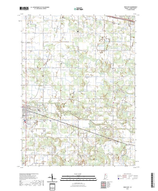
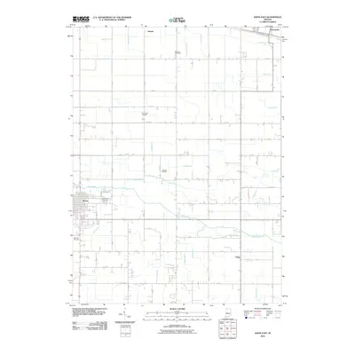
2022 Map of Knox East
USGS Topo · Published 2022About this map
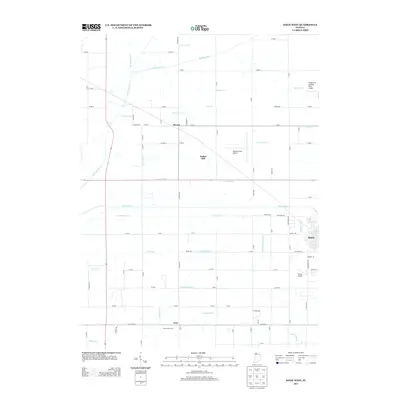
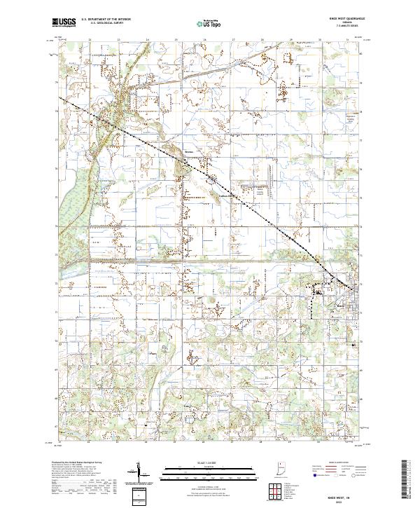
Knox serves as the focal point of this eastern Starke County landscape, centered on the Starke County Courthouse and the nearby Crown Hill Cem. The area is defined by the winding course of the Yellow River, which is supported by an intricate system of engineered waterways such as Danielson-Ditch, Gearhart Ditch, and Bolen Ditch. These ditches reveal a history of land reclamation and drainage management essential for the development of the region's agricultural and residential plots.
Find a feature on this map
68 named features on this map. Tap any name to fly to it.
Don’t see what you’re looking for? This feature index may not catch every label — zoom into the map to look around manually.
Map Details
Editions of this 2022 Knox East Map
This is the sole edition of this map. No revisions or reprints were ever made.
Historical Maps of Knox Through Time
20 maps found
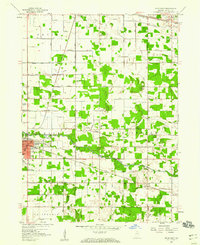
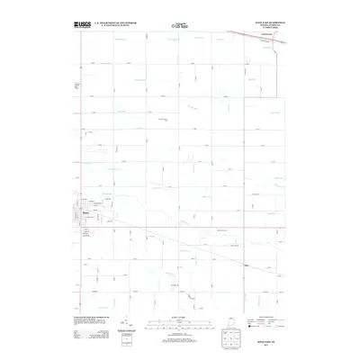
1957 Knox East
Starke County, IN
1957 Knox West
Starke County, IN
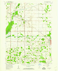
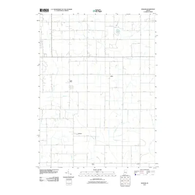
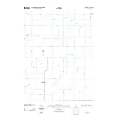
1962 Denham
Starke County, IN
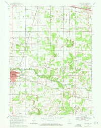
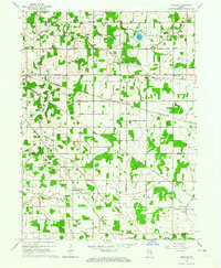
1969 Knox East
Starke County, IN
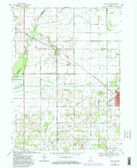
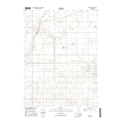
1969 Knox West
Starke County, IN
2010 Denham
Starke County, IN
2010 Knox East
Starke County, IN
2010 Knox West
Starke County, IN
2013 Denham
Starke County, IN
2013 Knox East
Starke County, IN
2013 Knox West
Starke County, IN
2016 Denham
Starke County, IN
2016 Knox East
Starke County, IN
2016 Knox West
Starke County, IN
2019 Denham
Starke County, IN
2019 Knox East
Starke County, IN
2019 Knox West
Starke County, IN
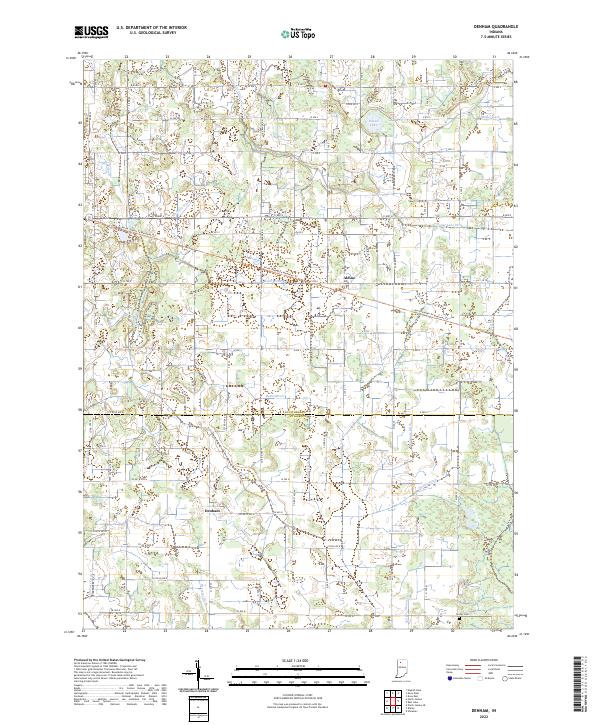
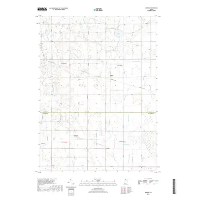
2022 Denham
Starke County, IN
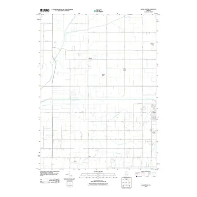
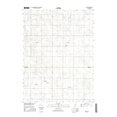
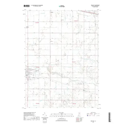
2022 Knox East
Starke County, IN
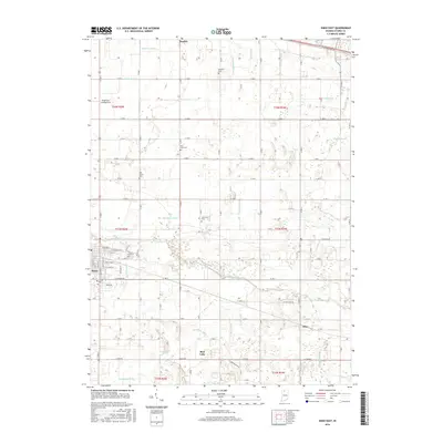
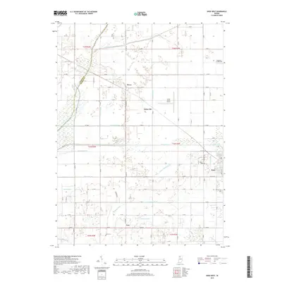
2022 Knox West
Starke County, IN