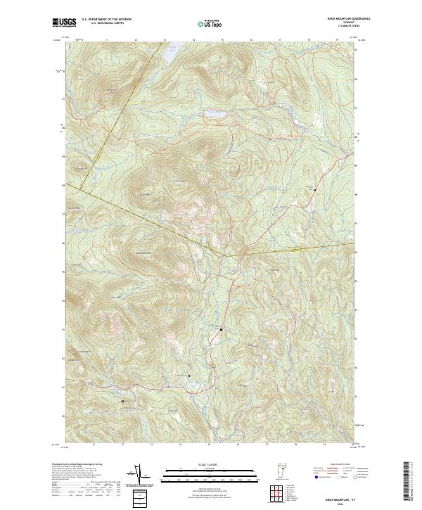
2024 Map of Knox Mountain
USGS Topo · Published 2024About this map
Knox Mountain and the surrounding high peaks of the Green Mountain State define this high-elevation landscape where Washington, Caledonia, and Orange counties meet. The terrain is characterized by steep summits and deep notches, with Signal Mountain and Spruce Mountain standing as prominent landmarks. This modern survey illustrates a network of trails and narrow mountain roads, including the Moose Tracks Trail and Darling Trail, which navigate the headwaters of the South Branch Wells River and Waits River.
Find a feature on this map
66 named features on this map. Tap any name to fly to it.
Don’t see what you’re looking for? This feature index may not catch every label — zoom into the map to look around manually.
Map Details
Editions of this 2024 Knox Mountain Map
This is the sole edition of this map. No revisions or reprints were ever made.
Other maps of this area

1931 · Woodsville
USGS Topo · 1:48,000

1935 · Woodsville
USGS Topo · 1:62,500

1938 · St. Johnsbury
USGS Topo · 1:48,000

1939 · Plainfield
USGS Topo · 1:48,000

1940 · Plainfield
USGS Topo · 1:62,500

1941 · Woodsville
USGS Topo · 1:62,500

1943 · Plainfield
USGS Topo · 1:62,500

1943 · St. Johnsbury
USGS Topo · 1:62,500

1947 · Corinth
USGS Topo · 1:62,500

1948 · East Barre
USGS Topo · 1:62,500