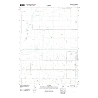
2010 Map of Knox West
USGS Topo · Published 2010About this map
Kankakee River and the Yellow River dominate this western portion of Starke County, illustrating a landscape defined by an extensive drainage system. The complex network of artificial waterways, including Newtson Ditch, Cox Ditch, and Bailey Ditch, reveals the intensive engineering required to manage the marshy terrain of this region for agricultural use. The city of Knox sits at the eastern edge of the survey, with the surrounding countryside dotted by smaller crossroads settlements like Toto, Indian Hill, and Brems. Local aviation history is well-represented by several facilities, from the Starke County Airport to the more private Singletons Landing Strip and Wilson Airport. Genealogists will find the locations of Oak Park Cemetery and Hepner Cemetery particularly useful for tracing family roots in this rural Indiana landscape.
Find a feature on this map
63 named features on this map. Tap any name to fly to it.
Don’t see what you’re looking for? This feature index may not catch every label — zoom into the map to look around manually.
Map Details
Editions of this 2010 Knox West Map
This is the sole edition of this map. No revisions or reprints were ever made.
Other maps of this area

1953 · Chicago
USGS Topo · 1:250,000

1957 · Chicago
USGS Topo · 1:250,000

1957 · Knox East
USGS Topo · 1:24,000

1957 · Knox West
USGS Topo · 1:24,000

1958 · Hanna
USGS Topo · 1:24,000

1958 · Kingsford Heights
USGS Topo · 1:24,000

1958 · Hamlet
USGS Topo · 1:24,000

1959 · English Lake
USGS Topo · 1:24,000

1959 · North Judson
USGS Topo · 1:24,000

1962 · Denham
USGS Topo · 1:24,000