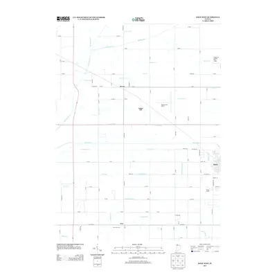
2013 Map of Knox West
USGS Topo · Published 2013About this map
The Kankakee River and Yellow River define the hydrography of this Starke County landscape, where an extensive network of drainage canals like Robbins Ditch and Laramore Ditch reveals a long history of land reclamation for agriculture. Small rural clusters and agricultural holdings are scattered throughout, including the named Newcomer Farm and the settlement of Toto in the south. The western edge of Knox appears on the eastern margin, providing a connection to the county seat's grid.
Find a feature on this map
94 named features on this map. Tap any name to fly to it.
Don’t see what you’re looking for? This feature index may not catch every label — zoom into the map to look around manually.
Map Details
Editions of this 2013 Knox West Map
This is the sole edition of this map. No revisions or reprints were ever made.
Other maps of this area

1953 · Chicago
USGS Topo · 1:250,000

1957 · Chicago
USGS Topo · 1:250,000

1957 · Knox East
USGS Topo · 1:24,000

1957 · Knox West
USGS Topo · 1:24,000

1958 · Hanna
USGS Topo · 1:24,000

1958 · Kingsford Heights
USGS Topo · 1:24,000

1958 · Hamlet
USGS Topo · 1:24,000

1959 · English Lake
USGS Topo · 1:24,000

1959 · North Judson
USGS Topo · 1:24,000

1962 · Denham
USGS Topo · 1:24,000