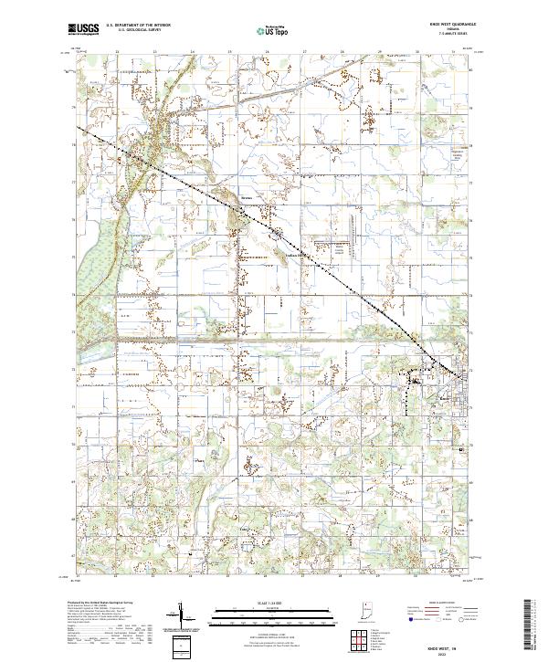
2022 Map of Knox West
USGS Topo · Published 2022About this map
The Kankakee River flows through the northwestern corner of this territory, defining a landscape engineered for agriculture through an extensive network of drainage projects. This intricate system includes the Yellow River and numerous named channels such as Jackson-Shilling Ditch, Cottonwood Ditch, and Laramore Ditch, which converted former wetlands into the productive fields that dominate Starke County. Small communities and historical gathering points like Brems, Indian Hill, and Toto are distributed across the township grid, while the western edge of Knox appears in the east. Local history is preserved at sites like Hepner Cem and Oak Park Cem, which stand alongside modern infrastructure like the Starke County Airport. The map also details private aviation at Singleton's Landing Strip, reflecting the rural but accessible character of the region in the early 21st century.
Find a feature on this map
60 named features on this map. Tap any name to fly to it.
Don’t see what you’re looking for? This feature index may not catch every label — zoom into the map to look around manually.
Map Details
Editions of this 2022 Knox West Map
This is the sole edition of this map. No revisions or reprints were ever made.
Other maps of this area

1953 · Chicago
USGS Topo · 1:250,000

1957 · Chicago
USGS Topo · 1:250,000

1957 · Knox East
USGS Topo · 1:24,000

1957 · Knox West
USGS Topo · 1:24,000

1958 · Hanna
USGS Topo · 1:24,000

1958 · Kingsford Heights
USGS Topo · 1:24,000

1958 · Hamlet
USGS Topo · 1:24,000

1959 · English Lake
USGS Topo · 1:24,000

1959 · North Judson
USGS Topo · 1:24,000

1962 · Denham
USGS Topo · 1:24,000