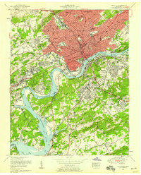
1953 Map of Knoxville
USGS Topo · Published 1959About this map
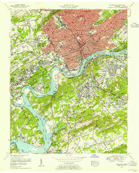
Knoxville's urban core and surrounding riverfront neighborhoods are meticulously documented here following early-1950s revisions by the Tennessee Valley Authority. The map captures a pivotal era of post-war infrastructure, showing the dense rail networks of the Southern Railway and L & N Railroad intersecting with the newly established Fort Loudoun Lake. Civic and educational institutions anchor the landscape, from the sprawling University of Tennessee campus and Knoxville College to the historic National Cemetery and Old Gray Cemetery. The industrial character of the era is evident in the Coster Yards and various gravel pits, while residential expansion pushes into neighborhoods like Sequoyah Hills and Bearden. This survey provides a critical view of the city's relationship with the Tennessee River before later interstate development altered the downtown street grid, preserving the locations of numerous local schools like Austin High School and vanished landmarks like the Eastern State Hospital.
Find a feature on this map
147 named features on this map. Tap any name to fly to it.
Don’t see what you’re looking for? This feature index may not catch every label — zoom into the map to look around manually.
Map Details
Editions of this 1953 Knoxville Map
2 editions found
Other maps of this area

1886 · Knoxville
USGS Topo · 1:125,000

1892 · Knoxville
USGS Topo · 1:125,000

1893 · Briceville
USGS Topo · 1:125,000

1894 · Knoxville
USGS Topo · 1:125,000

1895 · Loudon
USGS Topo · 1:125,000

1895 · Briceville
USGS Topo · 1:125,000

1895 · Knoxville
USGS Topo · 1:125,000

1896 · Briceville
USGS Topo · 1:125,000

1897 · Maynardville
USGS Topo · 1:125,000

1900 · Maynardville
USGS Topo · 1:125,000