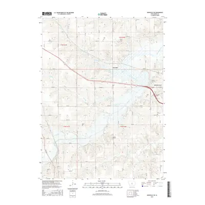
2015 Map of Knoxville SW
USGS Topo · Published 2015About this map
The agricultural landscape southwest of Knoxville is defined by the winding course of White Breast Creek and its many tributaries, including Butcher Cr and Hawk Run. This area in Marion County shows a high density of small family and community burial grounds, such as Wren Cem, Shire Cem, and Lincoln Cem, which offer significant value for genealogical research in this part of Iowa. The small settlement of Donnelley sits near the crossing of the creek, while the Marysville Bridge provides a notable landmark on the eastern edge of the survey area near the city limits. The terrain is a complex network of sections and township lines, including t76n r20w and t75n r21w, illustrating the classic Midwestern grid system adapted to the drainage patterns of English Cr and Tracey Cr.
Find a feature on this map
43 named features on this map. Tap any name to fly to it.
Don’t see what you’re looking for? This feature index may not catch every label — zoom into the map to look around manually.
Map Details
Editions of this 2015 Knoxville SW Map
This is the sole edition of this map. No revisions or reprints were ever made.
Other maps of this area

1909 · Knoxville
USGS Topo · 1:62,500

1910 · Milo
USGS Topo · 1:62,500

1912 · Knoxville
USGS Topo · 1:62,500

1918 · Chariton
USGS Topo · 1:62,500

1924 · Melcher
USGS Topo · 1:62,500

1954 · Des Moines
USGS Topo · 1:250,000

1956 · Des Moines
USGS Topo · 1:250,000

1957 · Des Moines
USGS Topo · 1:250,000

1965 · Pleasantville
USGS Topo · 1:24,000

1965 · Knoxville NW
USGS Topo · 1:24,000
Featured Places
- Knoxville, IA
- Franklin Township, IA
- Knoxville Township, IA
- Union Township, IA
- Pleasant Grove Township, IA