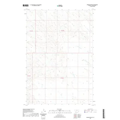
2020 Map of Knudson Draw NE
USGS Topo · Published 2020About this map
Hay Creek and its neighboring drainage systems define the landscape of this Carter County corner in the southeastern Montana plains. The topography is shaped by a dense network of intermittent watercourses, including N Fork Whitetail Creek, Middle Fork Whitetail Creek, and S Fork Whitetail Creek. These drainages create a complex pattern of coulees and draws that characterize the high plains before they descend toward larger river basins.
Find a feature on this map
13 named features on this map. Tap any name to fly to it.
Don’t see what you’re looking for? This feature index may not catch every label — zoom into the map to look around manually.
Map Details
Editions of this 2020 Knudson Draw NE Map
This is the sole edition of this map. No revisions or reprints were ever made.
Other maps of this area

1954 · Ekalaka
USGS Topo · 1:250,000

1956 · Ekalaka
USGS Topo · 1:250,000

1958 · Ekalaka
USGS Topo · 1:250,000

1965 · Ekalaka
USGS Topo · 1:250,000

1979 · W L Butte
USGS Topo · 1:24,000

1979 · Dutchman Creek
USGS Topo · 1:24,000
1979 · Pocochichee Butte
USGS Topo · 1:24,000

1981 · Alzada
USGS Topo · 1:100,000
1982 · Whitetail Creek
USGS Topo · 1:24,000

1982 · Phillippi Reservoir
USGS Topo · 1:24,000