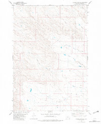
1982 Map of Knudson Draw NE
USGS Topo · Published 1982About this map
The drainage network of Carter County defines this portion of the Montana landscape, captured through aerial photography and field checks in the 1970s. The hydrology is dominated by the branching system of Whitetail Creek, including the North Fork Whitetail Creek, Middle Fork Whitetail Creek, and South Fork Whitetail Creek. These waterways, along with smaller tributaries like Muskrat Creek and Cady Creek, illustrate the complex erosion patterns typical of the region's high plains.
Find a feature on this map
10 named features on this map. Tap any name to fly to it.
Don’t see what you’re looking for? This feature index may not catch every label — zoom into the map to look around manually.
Map Details
Editions of this 1982 Knudson Draw NE Map
This is the sole edition of this map. No revisions or reprints were ever made.
Other maps of this area

1954 · Ekalaka
USGS Topo · 1:250,000

1956 · Ekalaka
USGS Topo · 1:250,000

1958 · Ekalaka
USGS Topo · 1:250,000

1965 · Ekalaka
USGS Topo · 1:250,000

1979 · W L Butte
USGS Topo · 1:24,000

1979 · Dutchman Creek
USGS Topo · 1:24,000
1979 · Pocochichee Butte
USGS Topo · 1:24,000

1981 · Alzada
USGS Topo · 1:100,000
1982 · Whitetail Creek
USGS Topo · 1:24,000

1982 · Phillippi Reservoir
USGS Topo · 1:24,000