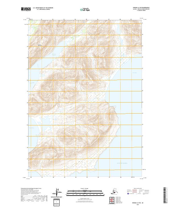
2021 Map of Kodiak A-4 SW
USGS Topo · Published 2021About this map
Natalia Peninsula dominates this coastal landscape on the southeastern edge of Kodiak Island, defined by its steep elevations and intricate shoreline. The land is nearly bisected by Sakalidak Lagoon, which cuts deep into the northern terrain, while the southern reaches are shaped by the broad indentations of Rolling Bay and Natalia Bay. This 2021 topographic survey illustrates a coastline untouched by modern road infrastructure, where the geography is dictated entirely by the high ridges and the encroaching waters of the Gulf of Alaska. On the eastern side, the sandy stretch of Ocean Bay provides a rare break in the otherwise precipitous maritime terrain, highlighting the isolated and maritime-dependent character of this sub-arctic environment.
Find a feature on this map
14 named features on this map. Tap any name to fly to it.
Don’t see what you’re looking for? This feature index may not catch every label — zoom into the map to look around manually.
Map Details
Editions of this 2021 Kodiak A-4 SW Map
This is the sole edition of this map. No revisions or reprints were ever made.
Other maps of this area

1951 · Kaguyak
USGS Topo · 1:250,000

1952 · Kodiak
USGS Topo · 1:250,000

1952 · Kaguyak
USGS Topo · 1:250,000

1952 · Kaguyak D-5
USGS Topo · 1:63,360
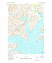
1952 · Kodiak A-5
USGS Topo · 1:63,360
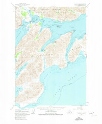
1952 · Kodiak A-4
USGS Topo · 1:63,360
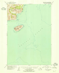
1954 · Kaguyak D-5
USGS Topo · 1:63,360
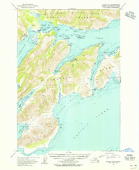
1954 · Kodiak A-4
USGS Topo · 1:63,360
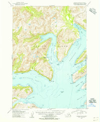
1954 · Kodiak A-5
USGS Topo · 1:63,360
2021 · Kodiak A-4 OE S NE
USGS Topo · 1:25,000