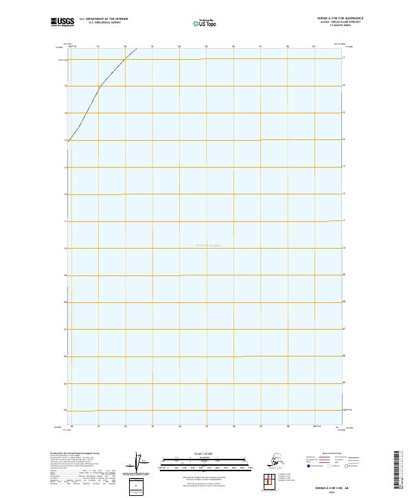
2021 Map of Kodiak A-4 OE S NE
USGS Topo · Published 2021About this map
The Gulf of Alaska dominates this maritime survey, illustrating the vast open waters south of Kodiak Island. Located within the Public Land Survey System township T37s R25w, the map focuses almost entirely on the marine environment, with a small section of coastline appearing in the upper-left corner. This 2021 edition provides a precise look at the coastal boundary at the dawn of the 2020s, serving as a primary reference for the offshore geography of the Kodiak Island Borough. While predominantly water, the chart establishes the maritime grid for the region, which is essential for understanding the navigational and jurisdictional layout of Alaska's southern coast.
Find a feature on this map
14 named features on this map. Tap any name to fly to it.
Don’t see what you’re looking for? This feature index may not catch every label — zoom into the map to look around manually.
Map Details
Editions of this 2021 Kodiak A-4 OE S NE Map
This is the sole edition of this map. No revisions or reprints were ever made.
Other maps of this area

1949 · Kodiak A-3
USGS Topo · 1:63,360

1950 · Kodiak A-3
USGS Topo · 1:63,360

1951 · Kaguyak
USGS Topo · 1:250,000

1952 · Kodiak
USGS Topo · 1:250,000

1952 · Kaguyak
USGS Topo · 1:250,000
1952 · Kodiak A-4
USGS Topo · 1:63,360
1954 · Kodiak A-4
USGS Topo · 1:63,360
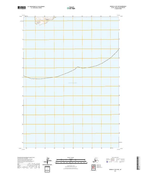
2021 · Kodiak A-4 OE S NW
USGS Topo · 1:25,000
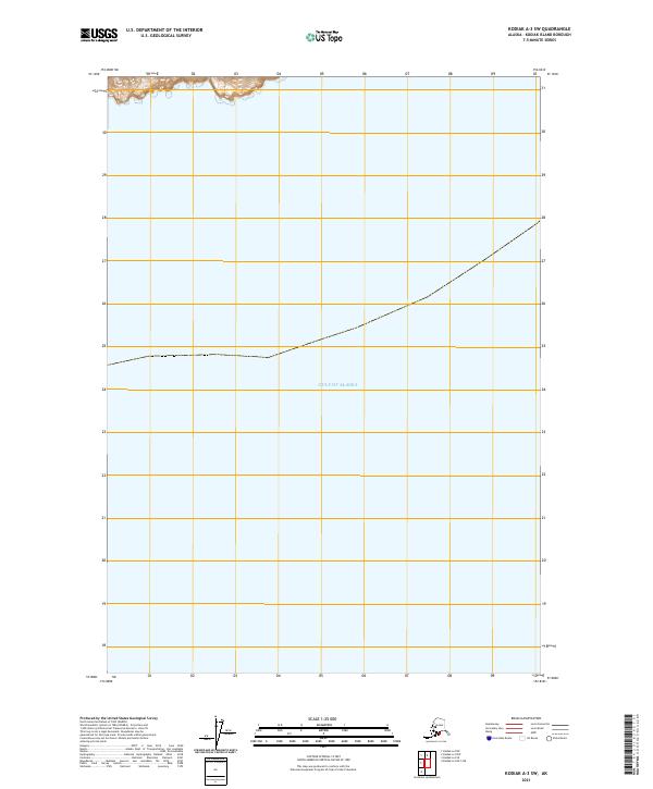
2021 · Kodiak A-3 SW
USGS Topo · 1:25,000
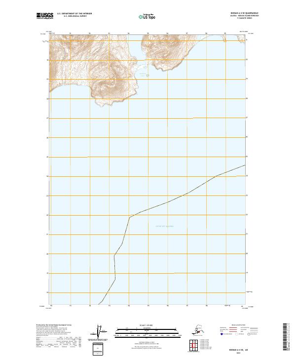
2021 · Kodiak A-4 SE
USGS Topo · 1:25,000