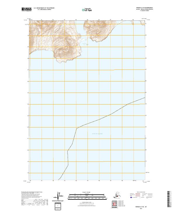
2021 Map of Kodiak A-4 SE
USGS Topo · Published 2021About this map
Partition Cove and the northern reaches of the Gulf of Alaska define this maritime landscape on the southeastern coast of Kodiak Island. This 2021 survey shows a coastal environment primarily characterized by its elevation and sea access, where the steep topography of the island drops directly into the Pacific. The map documents the intricate shoreline and the bathymetry near the coast, reflecting the remote and undeveloped nature of this corner of the borough. Lacking modern roads or named settlements, the area is delineated by the Public Land Survey System, including t35s r24w and t36s r24w. The cartography emphasizes the intersection of these remote land tracts with the expansive coastal waters of the gulf.
Find a feature on this map
6 named features on this map. Tap any name to fly to it.
Don’t see what you’re looking for? This feature index may not catch every label — zoom into the map to look around manually.
Map Details
Editions of this 2021 Kodiak A-4 SE Map
This is the sole edition of this map. No revisions or reprints were ever made.
Other maps of this area

1949 · Kodiak A-3
USGS Topo · 1:63,360

1950 · Kodiak A-3
USGS Topo · 1:63,360

1951 · Kaguyak
USGS Topo · 1:250,000

1952 · Kodiak
USGS Topo · 1:250,000

1952 · Kaguyak
USGS Topo · 1:250,000
1952 · Kodiak A-4
USGS Topo · 1:63,360
1954 · Kodiak A-4
USGS Topo · 1:63,360
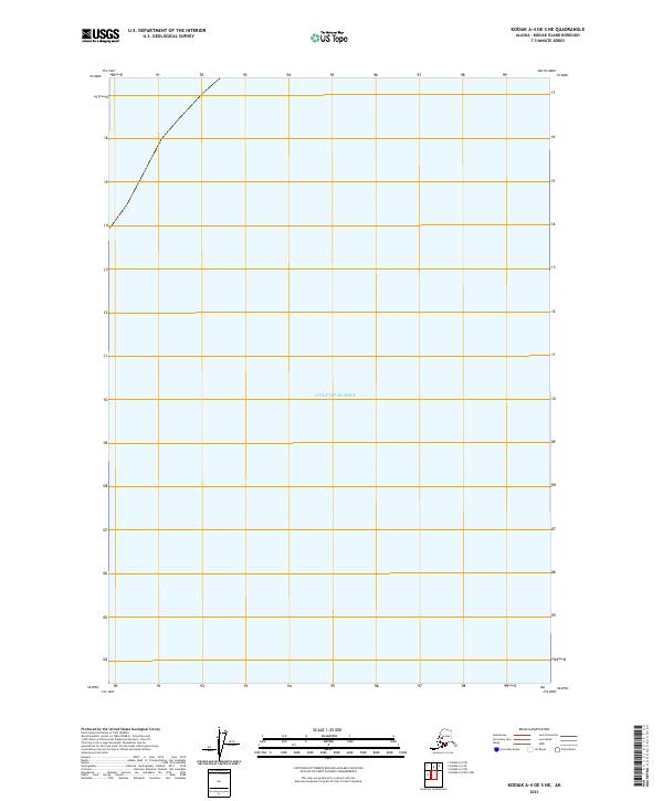
2021 · Kodiak A-4 OE S NE
USGS Topo · 1:25,000
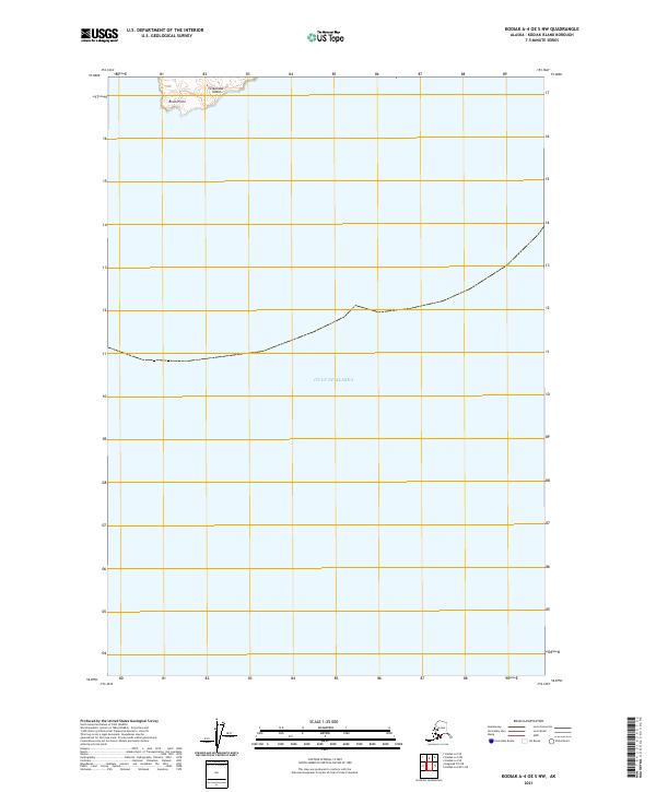
2021 · Kodiak A-4 OE S NW
USGS Topo · 1:25,000
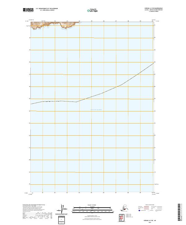
2021 · Kodiak A-3 SW
USGS Topo · 1:25,000