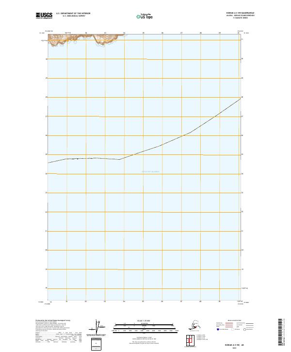
2021 Map of Kodiak A-3 SW
USGS Topo · Published 2021About this map
The vast expanse of the Gulf of Alaska dominates this maritime survey, illustrating the open coastal waters off the southern reaches of the island. Minimal land area is visible at the extreme northern edge of the sheet, where steep, mountainous terrain descends toward the shoreline. The topography is marked by significant elevation changes, with land rising rapidly through sections such as 30 and 29. This specific area, documented by the U.S. Geological Survey, focuses on the hydrographic and coastal character of the region rather than inland settlements, providing a clear view of the maritime boundary and the transition from the rugged island interior to the open sea.
Find a feature on this map
20 named features on this map. Tap any name to fly to it.
Don’t see what you’re looking for? This feature index may not catch every label — zoom into the map to look around manually.
Map Details
Editions of this 2021 Kodiak A-3 SW Map
This is the sole edition of this map. No revisions or reprints were ever made.
Other maps of this area

1949 · Kodiak A-3
USGS Topo · 1:63,360

1950 · Kodiak A-3
USGS Topo · 1:63,360

1951 · Kaguyak
USGS Topo · 1:250,000

1952 · Kodiak
USGS Topo · 1:250,000

1952 · Kaguyak
USGS Topo · 1:250,000
1952 · Kodiak A-4
USGS Topo · 1:63,360
1954 · Kodiak A-4
USGS Topo · 1:63,360
2021 · Kodiak A-4 OE S NE
USGS Topo · 1:25,000
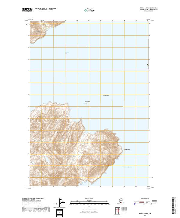
2021 · Kodiak A-3 NW
USGS Topo · 1:25,000
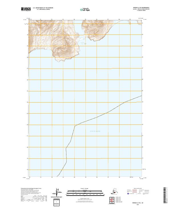
2021 · Kodiak A-4 SE
USGS Topo · 1:25,000