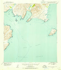
1949 Map of Kodiak B-1 and B-2
USGS Topo · Published 1954About this map
Pasagshak Bay and the surrounding coastline of southeastern Kodiak Island dominate this late 1940s survey. The landscape is defined by its dramatic maritime features, where the Gulf of Alaska meets deep inlets and jagged headlands. Inland, the freshwater systems of Lake Rose Tead and Lake Miam provide a contrast to the salt water of Portage Bay and Ugak Bay.
Find a feature on this map
24 named features on this map. Tap any name to fly to it.
Don’t see what you’re looking for? This feature index may not catch every label — zoom into the map to look around manually.
Map Details
Editions of this 1949 Kodiak B-1 and B-2 Map
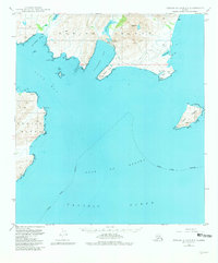
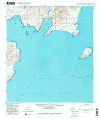
4 editions found
Other maps of this area

1949 · Kodiak C-2
USGS Topo · 1:63,360

1949 · Kodiak B-1 and B-2
USGS Topo · 1:63,360

1949 · Kodiak A-3
USGS Topo · 1:63,360

1949 · Kodiak C-1
USGS Topo · 1:63,360

1949 · Kodiak B-3
USGS Topo · 1:63,360

1950 · Kodiak A-3
USGS Topo · 1:63,360

1950 · Kodiak B-3
USGS Topo · 1:63,360

1951 · Kodiak B-1 and B-2
USGS Topo · 1:63,360

1951 · Kodiak C-1
USGS Topo · 1:63,360

1952 · Kodiak
USGS Topo · 1:250,000