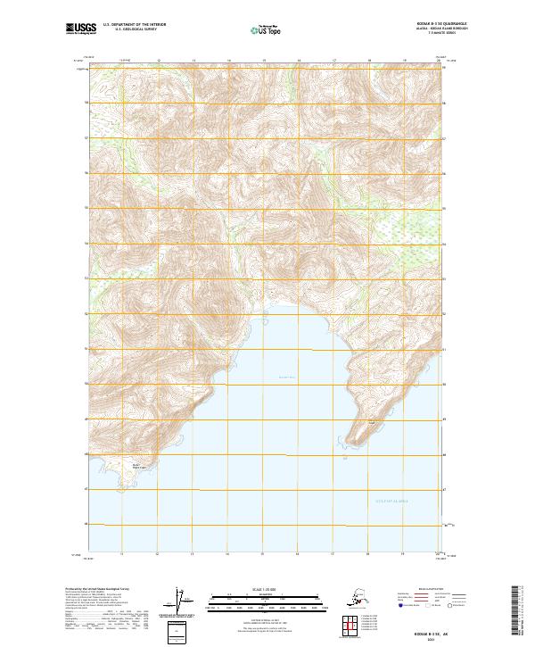
2021 Map of Kodiak B-3 SE
USGS Topo · Published 2021About this map
Boulder Bay forms a deep indentation on the southeastern coast of Kodiak Island, where the island's steep, mountainous terrain meets the Gulf of Alaska. This 2021 survey illustrates a maritime landscape defined by its high-relief topography, with numerous peaks rising sharply from the water's edge. The coastline is punctuated by notable landmarks including the protruding headland at Dangerous Cape to the east and the protective reach of Outer Right Cape to the southwest. The absence of roads or established settlements on this map underscores the wild, untouched character of this remote coastal region, where drainage patterns from the inland heights feed directly into the bay. The map reflects a modern topographic view of the intricate shoreline and the bathymetric transitions where the island's landmass drops off into the surrounding gulf waters.
Find a feature on this map
9 named features on this map. Tap any name to fly to it.
Don’t see what you’re looking for? This feature index may not catch every label — zoom into the map to look around manually.
Map Details
Editions of this 2021 Kodiak B-3 SE Map
This is the sole edition of this map. No revisions or reprints were ever made.
Other maps of this area

1949 · Kodiak B-1 and B-2
USGS Topo · 1:63,360

1949 · Kodiak A-3
USGS Topo · 1:63,360

1949 · Kodiak B-3
USGS Topo · 1:63,360

1950 · Kodiak A-3
USGS Topo · 1:63,360

1950 · Kodiak B-3
USGS Topo · 1:63,360

1951 · Kodiak B-1 and B-2
USGS Topo · 1:63,360

1952 · Kodiak
USGS Topo · 1:250,000
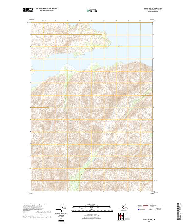
2021 · Kodiak B-3 NW
USGS Topo · 1:25,000
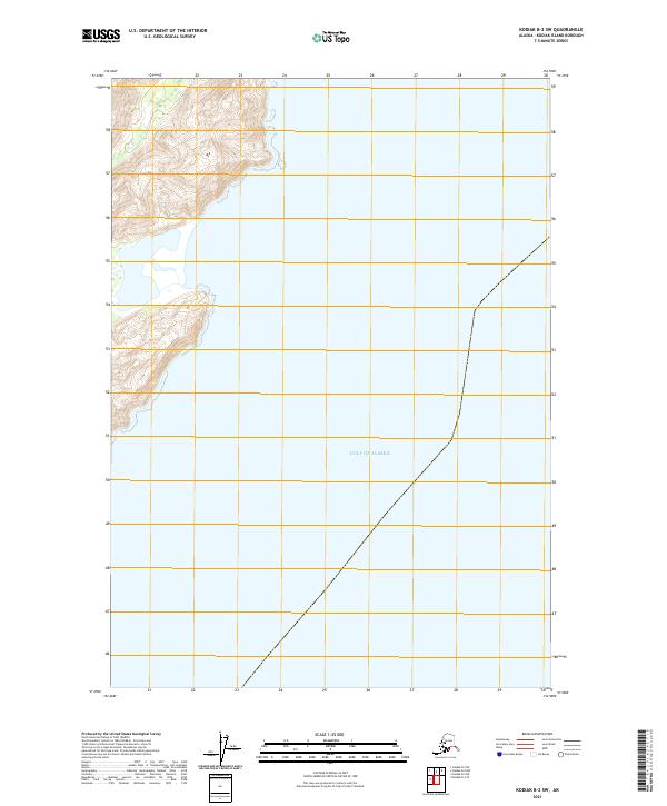
2021 · Kodiak B-2 SW
USGS Topo · 1:25,000
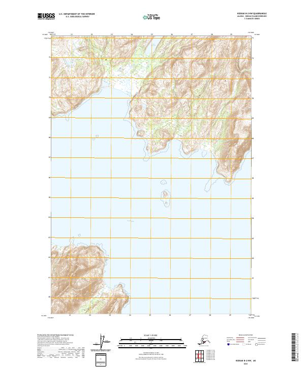
2021 · Kodiak B-2 NW
USGS Topo · 1:25,000