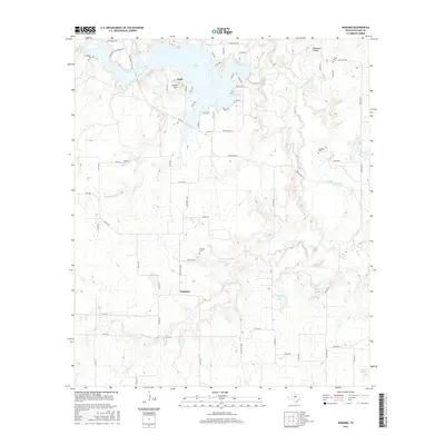
2016 Map of Kokomo
USGS Topo · Published 2016About this map
The settlement of Kokomo and the northern reaches of the Leon River define this portion of Eastland County, captured here in the mid-2010s. The landscape is a mix of agricultural terrain and water systems, anchored by the expansive Lake Leon and its various tributaries including Colony Cr, Nash Cr, and Mountain Br. For those tracing local families and vanished community centers, the map identifies several rural burying grounds such as Gregg Cem, Alameda Cem, and Providence Cem, which are often the last standing indicators of early settlement patterns in the area. North of Kokomo, the terrain rises at Round Mtn near the small community of Staff, while the eastern portion of the sheet is marked by numerous small water bodies like Rodgers Lake and Manske Lake. This 2016 survey provides an essential record of the county's modern road network, including the intersections of Ranch Rd 2214 and FM 2214.
Find a feature on this map
74 named features on this map. Tap any name to fly to it.
Don’t see what you’re looking for? This feature index may not catch every label — zoom into the map to look around manually.
Map Details
Editions of this 2016 Kokomo Map
This is the sole edition of this map. No revisions or reprints were ever made.
Other maps of this area

1894 · Eastland
USGS Topo · 1:125,000

1954 · Abilene
USGS Topo · 1:250,000

1958 · Abilene
USGS Topo · 1:250,000

1966 · Kokomo
USGS Topo · 1:24,000
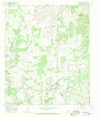
1966 · Desdemona
USGS Topo · 1:24,000

1966 · Carbon
USGS Topo · 1:24,000
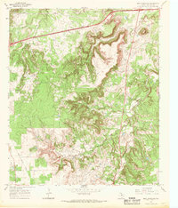
1966 · Bear Mountain
USGS Topo · 1:24,000

1966 · Eastland
USGS Topo · 1:24,000

1966 · Ranger
USGS Topo · 1:24,000
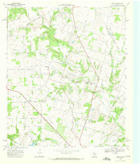
1968 · Rucker
USGS Topo · 1:24,000