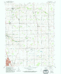
2022 Map of Kokomo West
USGS Topo · Published 2022About this map
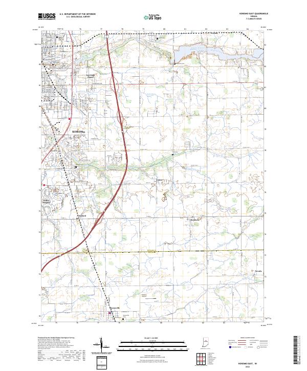
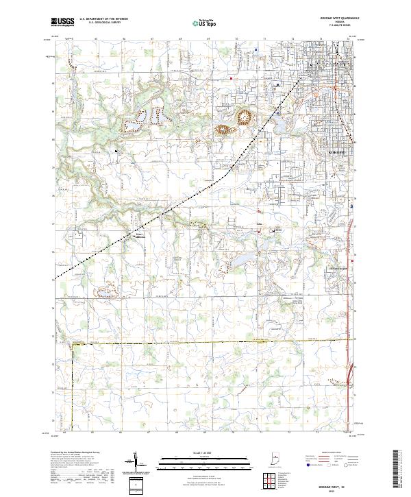
Kokomo serves as the focal point of this western Howard County landscape, where the urban grid of the city meets the agricultural and drainage patterns of the Indiana countryside. The map traces the confluence of Wildcat Creek, Kokomo Creek, and Kitty Run, illustrating how these waterways shaped the early development of the region. Significant institutional landmarks appear, including the Indiana University - Kokomo campus and the central Howard County Courthouse, highlighting the area's role as a regional administrative and educational hub.
Find a feature on this map
90 named features on this map. Tap any name to fly to it.
Don’t see what you’re looking for? This feature index may not catch every label — zoom into the map to look around manually.
Map Details
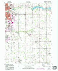
Editions of this 2022 Kokomo West Map
This is the sole edition of this map. No revisions or reprints were ever made.
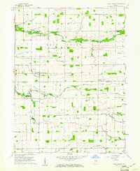
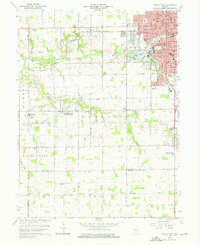
Historical Maps of Alto Through Time
9 maps found