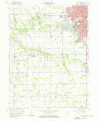
1992 Map of Kokomo West
USGS Topo · Published 1995About this map
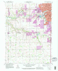
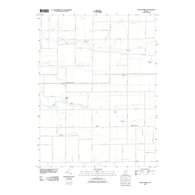
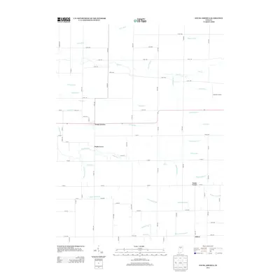
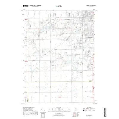
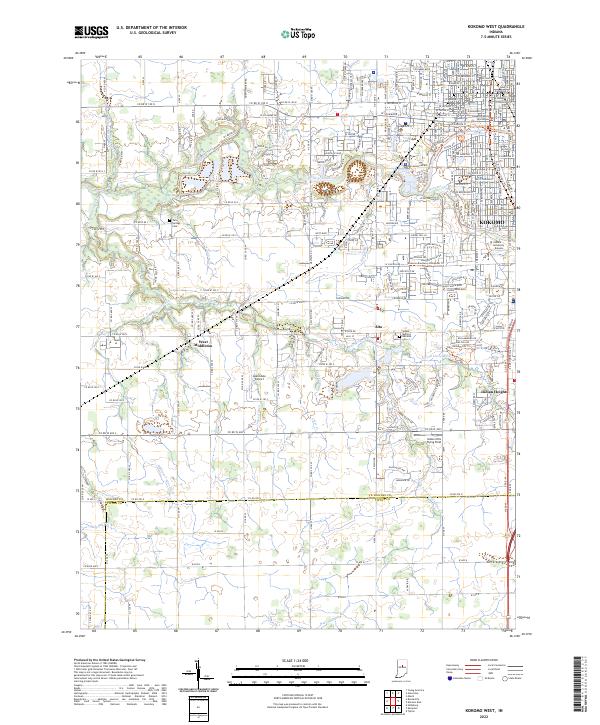
Kokomo and its southwestern suburbs are detailed in this 1990s revision, showing the transition from the city's residential neighborhoods to the expansive agricultural landscape of Harrison and Honey Creek townships. The map documents significant institutional growth, featuring several schools such as Western High Sch and Wallace Sch, alongside suburban developments like Indian Heights. The industrial character of the urban edge is grounded by the Sewage Disposal plant and various substations near the Wildcat Creek corridor.
Find a feature on this map
41 named features on this map. Tap any name to fly to it.
Don’t see what you’re looking for? This feature index may not catch every label — zoom into the map to look around manually.
Map Details
Editions of this 1992 Kokomo West Map
This is the sole edition of this map. No revisions or reprints were ever made.
Historical Maps of Kokomo Through Time
25 maps found
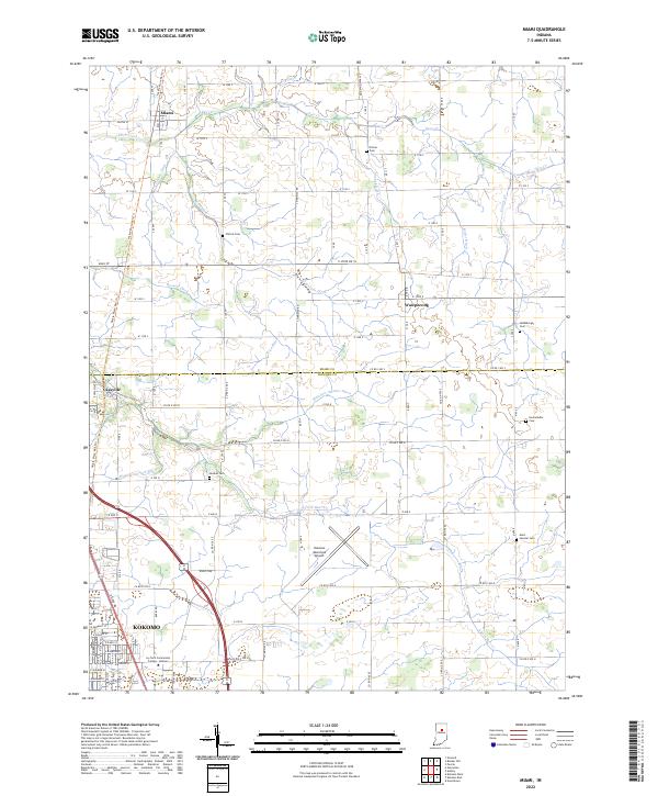
1959 Miami
Howard County, IN
1959 Young America
Howard County, IN
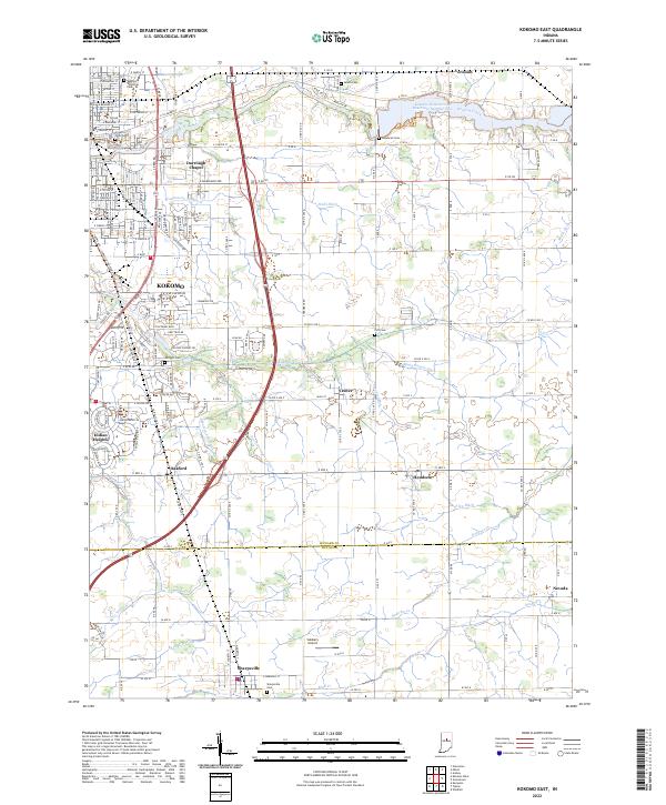
1960 Kokomo East
Howard County, IN
1960 Kokomo West
Howard County, IN
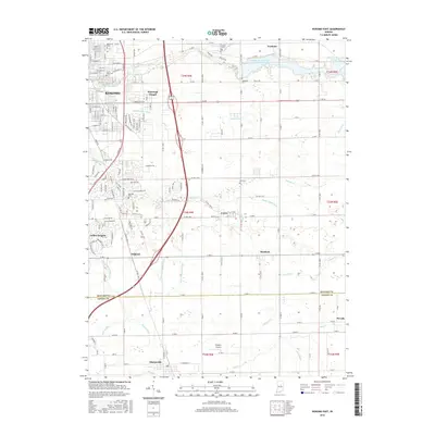
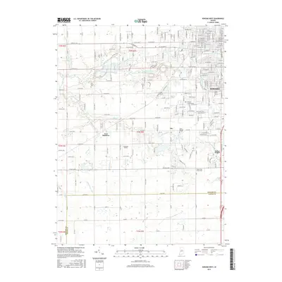
1992 Kokomo West
Howard County, IN
2010 Kokomo East
Howard County, IN
2010 Kokomo West
Howard County, IN
2010 Miami
Howard County, IN
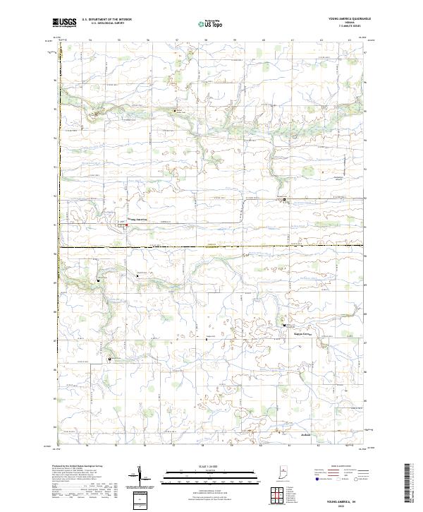
2010 Young America
Howard County, IN
2013 Kokomo East
Howard County, IN
2013 Kokomo West
Howard County, IN
2013 Miami
Howard County, IN
2013 Young America
Howard County, IN
2016 Kokomo East
Howard County, IN
2016 Kokomo West
Howard County, IN
2016 Miami
Howard County, IN
2016 Young America
Howard County, IN
2019 Kokomo East
Howard County, IN
2019 Kokomo West
Howard County, IN
2019 Miami
Howard County, IN
2019 Young America
Howard County, IN
2022 Kokomo East
Howard County, IN
2022 Kokomo West
Howard County, IN
2022 Miami
Howard County, IN
2022 Young America
Howard County, IN