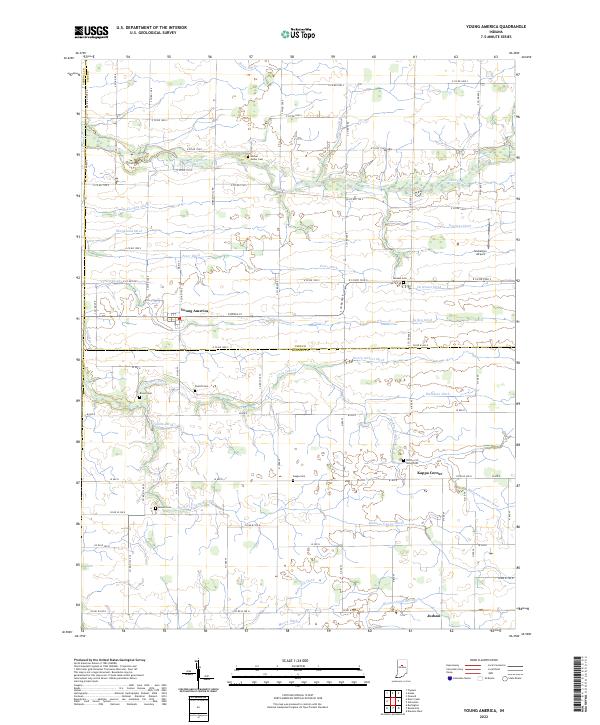
2022 Map of Young America
USGS Topo · Published 2022About this map
Young America sits at the heart of this agricultural landscape along the border of Cass and Howard Counties, surrounded by a complex network of drainage ditches that have historically defined Indiana's farmland productivity. The region is marked by its small rural communities, including Kappa Corner and Judson, and a high concentration of local burying grounds such as Hoover Snider Cem, Harness Cem, and the uniquely named Mound Cem.
Find a feature on this map
120 named features on this map. Tap any name to fly to it.
Don’t see what you’re looking for? This feature index may not catch every label — zoom into the map to look around manually.
Map Details
Editions of this 2022 Young America Map
This is the sole edition of this map. No revisions or reprints were ever made.
Other maps of this area

1951 · Onward
USGS Topo · 1:24,000

1953 · Danville
USGS Topo · 1:250,000

1955 · Danville
USGS Topo · 1:250,000

1955 · Anoka
USGS Topo · 1:24,000

1956 · Danville
USGS Topo · 1:250,000

1959 · Galveston
USGS Topo · 1:24,000

1959 · Young America
USGS Topo · 1:24,000

1960 · Kokomo West
USGS Topo · 1:24,000

1961 · Russiaville
USGS Topo · 1:24,000

1961 · Burlington
USGS Topo · 1:24,000