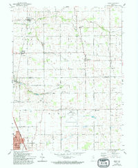
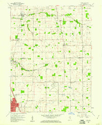
1959 Map of Miami
USGS Topo · Published 1994About this map
The rural borderlands between Miami and Howard Counties are defined by an intricate network of engineered drainage ditches feeding into Deer Creek and its South Fork. This landscape, surveyed in the late 1950s, reveals a highly organized agricultural grid where early settlements like Miami and Bennetts Switch grew along the Pennsylvania Railroad. To the south, the northern reaches of Kokomo begin to appear, anchored by the expansive Kokomo Municipal Airport and residential developments near Bon Air Park.
Find a feature on this map
58 named features on this map. Tap any name to fly to it.
Don’t see what you’re looking for? This feature index may not catch every label — zoom into the map to look around manually.
Map Details
Editions of this 1959 Miami Map
3 editions found
Other maps of this area

1951 · Onward
USGS Topo · 1:24,000

1951 · Bunker Hill
USGS Topo · 1:24,000

1953 · Peoria
USGS Topo · 1:24,000

1953 · Danville
USGS Topo · 1:250,000

1953 · Muncie
USGS Topo · 1:250,000

1955 · Danville
USGS Topo · 1:250,000

1956 · Muncie
USGS Topo · 1:250,000

1956 · Danville
USGS Topo · 1:250,000

1959 · Galveston
USGS Topo · 1:24,000

1959 · Miami
USGS Topo · 1:24,000