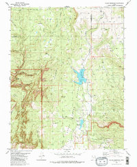
1980 Map of Kolob Reservoir
USGS Topo · Published 1981About this map
Zion National Park boundaries define the southwestern portion of this high-altitude landscape, where the Upper Kolob and The Plateau meet at the Iron and Washington County line. The hydrology of the area is centered on the Kolob Reservoir and the nearby Blue Springs Reservoir, which collect waters from drainage systems like Beebe Hollow and Indian Hollow. The topography is defined by significant elevations such as Kolob Peak and Little Creek Peak, alongside dramatic canyons like Beer Canyon and Bear Trap Canyon. Local access in the early 1980s was maintained through a network of pack trails, including the Lava Point Trail and West Rim Trail, which navigate the descent from Lava Point toward the Horse Pasture Plateau.
Find a feature on this map
52 named features on this map. Tap any name to fly to it.
Don’t see what you’re looking for? This feature index may not catch every label — zoom into the map to look around manually.
Map Details
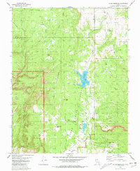
Editions of this 1980 Kolob Reservoir Map
2 editions found
Other maps of this area

1885 · St. George
USGS Topo · 1:250,000

1886 · Kanab
USGS Topo · 1:250,000

1891 · St. George
USGS Topo · 1:250,000

1950 · Kanarraville
USGS Topo · 1:24,000

1950 · Cedar City
USGS Topo · 1:62,500

1950 · Cedar Mountain
USGS Topo · 1:24,000

1951 · Kanarraville
USGS Topo · 1:24,000

1952 · Cedar Mountain
USGS Topo · 1:24,000

1953 · Cedar City
USGS Topo · 1:250,000

1954 · Orderville Canyon NW
USGS Topo · 1:24,000